radar

DC-27 - Light Detection and Ranging (LiDAR)
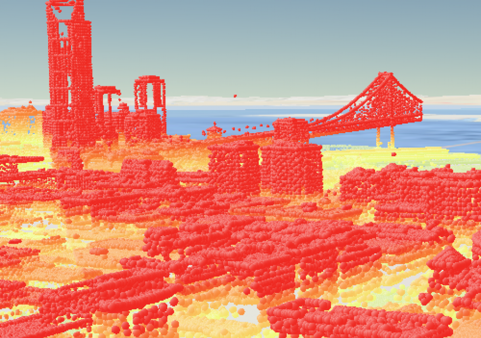
LiDAR (Light Detection and Ranging) is a remote sensing technology that collects information reflected or refracted from the Earth’s surface. The instrumentation that collects LiDAR data can be housed on drones, airplanes, helicopters, or satellites, and consists of a laser scanner that transmits pulses of light. These transmitted pulses reflect or refract from objects on the Earth’s surface or from the surface itself, and the time delay is recorded. Knowing the travel time and the speed of light, an elevation of each pulse above the surface can be determined. From the pulse data collected, the user can determine the topography and landscape features of the Earth or whatever surface has received the pulses. The evolution of software that displays and analyzes LiDAR data and the development of new and more compact file formats have allowed the use of LiDAR to grow dramatically in recent years.

Pages