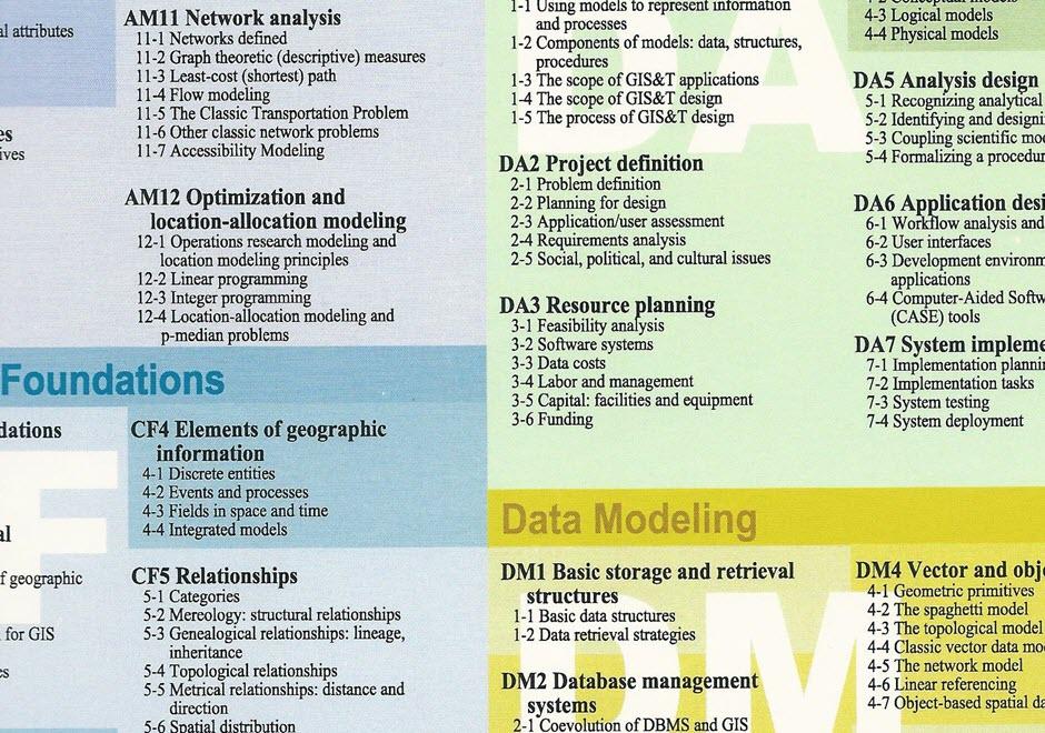
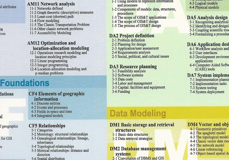
DM-25 - Categories

- Explain the human tendency to simplify the world using categories
- Identify specific examples of categories of entities (i.e., common nouns), properties (i.e., adjectives), space (i.e., regions), and time (i.e., eras)
- Explain the role of categories in common-sense conceptual models, everyday language, and analytical procedures
- Recognize and manage the potential problems associated with the use of categories (e.g., the ecological fallacy)
- Construct taxonomies and dictionaries (also known as formal ontologies) to communicate systems of categories
- Describe the contributions of category theory to understanding the internal structure of categories
- Document the personal, social, and/or institutional meaning of categories used in GIS applications
- Create or use GIS data structures to represent categories, including attribute columns, layers/themes, shapes, and legends
- Use categorical information in analysis, cartography, and other GIS processes, avoiding common interpretation mistakes
- Reconcile differing common-sense and official definitions of common geospatial categories of entities, attributes, space, and time


DM-26 - Mereology: structural relationships