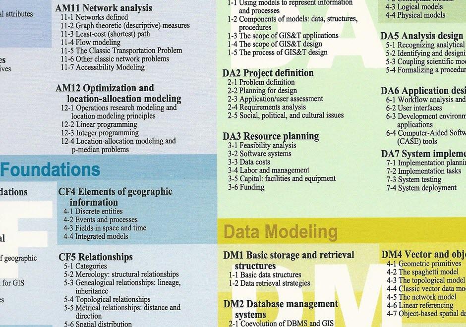
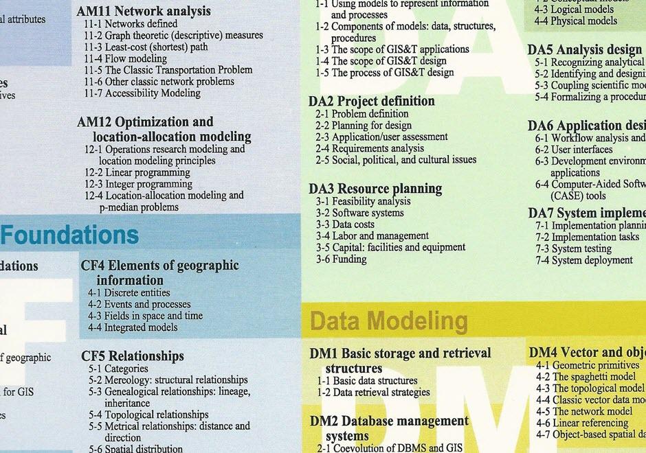
resource planning

KE-08 - Data costs
  • Identify potential sources of data (free or commercial) needed for a particular application or enterprise
  • Judge the relative merits of obtaining free data, purchasing data, outsourcing data creation, or producing and managing data in-house for a particular application or enterprise
  • Estimate the cost to collect needed data from primary sources (e.g., remote sensing, GPS)
KE-07 - Feasibility analysis
  • List the costs and benefits (financial and intangible) of implementing geospatial technology for a particular application or an entire institution
  • Evaluate possible solutions to the major obstacles that stand in the way of a successful GIS proposal
  • List some of the topics that should be addressed in such a justification of geospatial technology (e.g., ROI, workflow, knowledge sharing)
  • Decide whether geospatial technology should be used for a particular task
  • Perform a pilot study to evaluate the feasibility of an application
  • Justify feasibility recommendations to decision makers
  • Identify major obstacles to the success of a GIS proposal
  • Compare and contrast the relative merits of outsourcing the feasibility analysis and system design processes or doing them in-house
KE-10 - Capital: facilities and equipment
  • Identify the hardware and space that will be needed for a GIS implementation
  • Compare and contrast the relative merits of housing GISs within IT (information technology) and MIS (management information system) facilities versus keeping them separate
  • Collaborate effectively with various units in an institution to develop efficient hardware and space solutions
  • Hypothesize the ways in which capital needs for GIS may change in the future
KE-09 - Labor and management
  • Identify the positions necessary to design and implement a GIS
  • Discuss the advantages and disadvantages of outsourcing elements of the implementation of a geospatial system, such as data entry
  • Evaluate the labor needed in past cases to build a new geospatial enterprise
  • Create a budget of expected labor costs, including salaries, benefits, training, and other expenses
KE-08 - Data costs
  • Identify potential sources of data (free or commercial) needed for a particular application or enterprise
  • Judge the relative merits of obtaining free data, purchasing data, outsourcing data creation, or producing and managing data in-house for a particular application or enterprise
  • Estimate the cost to collect needed data from primary sources (e.g., remote sensing, GPS)
KE-07 - Feasibility analysis
  • List the costs and benefits (financial and intangible) of implementing geospatial technology for a particular application or an entire institution
  • Evaluate possible solutions to the major obstacles that stand in the way of a successful GIS proposal
  • List some of the topics that should be addressed in such a justification of geospatial technology (e.g., ROI, workflow, knowledge sharing)
  • Decide whether geospatial technology should be used for a particular task
  • Perform a pilot study to evaluate the feasibility of an application
  • Justify feasibility recommendations to decision makers
  • Identify major obstacles to the success of a GIS proposal
  • Compare and contrast the relative merits of outsourcing the feasibility analysis and system design processes or doing them in-house
KE-10 - Capital: facilities and equipment
  • Identify the hardware and space that will be needed for a GIS implementation
  • Compare and contrast the relative merits of housing GISs within IT (information technology) and MIS (management information system) facilities versus keeping them separate
  • Collaborate effectively with various units in an institution to develop efficient hardware and space solutions
  • Hypothesize the ways in which capital needs for GIS may change in the future
KE-09 - Labor and management
  • Identify the positions necessary to design and implement a GIS
  • Discuss the advantages and disadvantages of outsourcing elements of the implementation of a geospatial system, such as data entry
  • Evaluate the labor needed in past cases to build a new geospatial enterprise
  • Create a budget of expected labor costs, including salaries, benefits, training, and other expenses
KE-08 - Data costs
  • Identify potential sources of data (free or commercial) needed for a particular application or enterprise
  • Judge the relative merits of obtaining free data, purchasing data, outsourcing data creation, or producing and managing data in-house for a particular application or enterprise
  • Estimate the cost to collect needed data from primary sources (e.g., remote sensing, GPS)
KE-07 - Feasibility analysis
  • List the costs and benefits (financial and intangible) of implementing geospatial technology for a particular application or an entire institution
  • Evaluate possible solutions to the major obstacles that stand in the way of a successful GIS proposal
  • List some of the topics that should be addressed in such a justification of geospatial technology (e.g., ROI, workflow, knowledge sharing)
  • Decide whether geospatial technology should be used for a particular task
  • Perform a pilot study to evaluate the feasibility of an application
  • Justify feasibility recommendations to decision makers
  • Identify major obstacles to the success of a GIS proposal
  • Compare and contrast the relative merits of outsourcing the feasibility analysis and system design processes or doing them in-house

Pages