satellites

DC-32 - Landsat

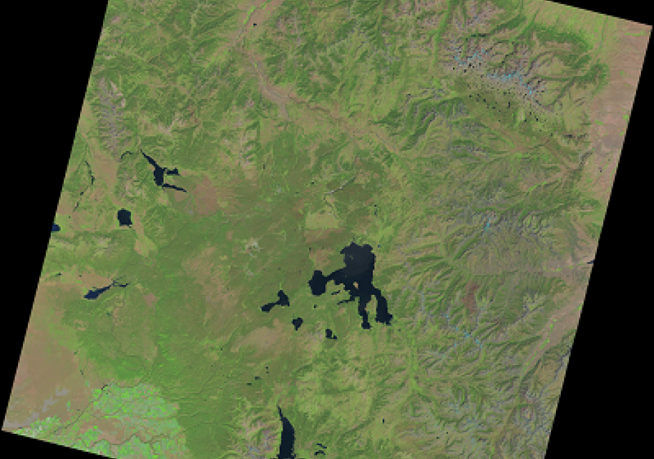
The Landsat series of satellites have collected the longest and continuous earth observation data. Earth surface data collected since 1972 are providing invaluable data for managing natural resources, monitoring changes, and disaster response. After the US Geological Survey (USGS) opened the entire archive to users, the number of monitoring and mapping applications have increased several folds. Currently, Landsat data can be obtained from the USGS and other private entities. The sensors onboard these Landsat satellites have improved over time resulting in changes to the spatial, spectral, radiometric, and temporal resolutions of the images they have collected. Data recorded by the sensors in the form of pixels can be converted to reflectance values. Recently, USGS has reprocessed the entire Landsat data archive and is releasing them as collections. This section provides an overview of the Landsat program and remotely sensed data characteristics, followed by the description of various sensors onboard and data collected by the past and current sensors.