PD-01 - Linear Programming and GIS

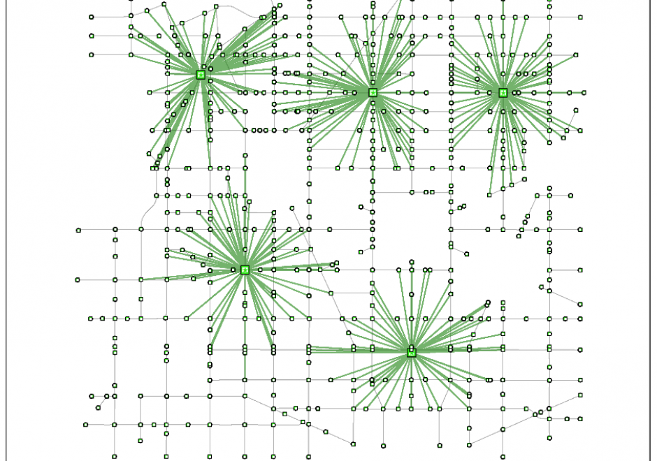
Linear programming is a set of methods for finding optimal solutions to mathematical models composed of a set of linear functions. Many spatial location problems can be structured as linear programs. However, even modest-sized problem instances can be very difficult to solve due to the combinatorial complexity of the problems and the associated computational expense that they incur. Geographic Information Systems software does not typically incorporate formal linear programming functionality, and instead commonly uses heuristic solution procedures to generate near-optimal solutions quickly. There is growing interest in integrating the spatial analytic tools incorporated in Geographic Information Systems with the solution power of linear programming software to generate guaranteed optimal solutions to spatial location problems.


DA-04 - GIS&T and Civil Engineering
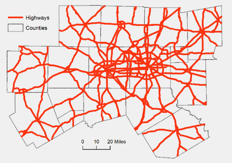
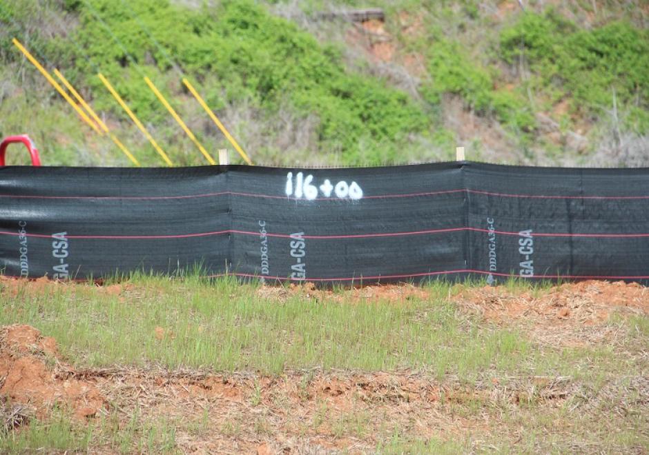
Civil Engineering, which includes sub-disciplines such as environmental, geotechnical, structural, and water resource engineering, is increasingly dependent on the GIS&T for the planning, design, operation and management of civil engineering infrastructure systems. Typical tasks include the management of spatially referenced data sets, analytic modeling for making design decisions and estimating likely system behavior and impacts, and the visualization of systems for the decision-making process and garnering stakeholder support.