DA-04 - GIS&T and Civil Engineering

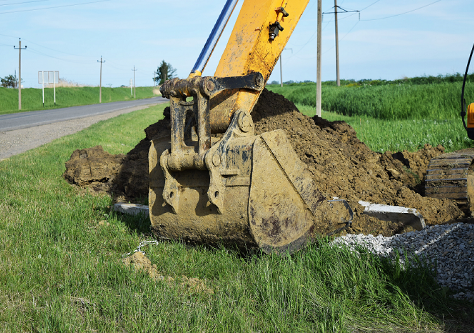
Civil Engineering, which includes sub-disciplines such as environmental, geotechnical, structural, and water resource engineering, is increasingly dependent on the GIS&T for the planning, design, operation and management of civil engineering infrastructure systems. Typical tasks include the management of spatially referenced data sets, analytic modeling for making design decisions and estimating likely system behavior and impacts, and the visualization of systems for the decision-making process and garnering stakeholder support.


DA-16 - GIS&T and Forestry
GIS applications in forestry are as diverse as the subject itself. Many foresters match a common stereotype as loggers and firefighters, but many protect wildlife, manage urban forests, enhance water quality, provide for recreation, and plan for a sustainable future. A broad range of management goals drives a broad range of spatial methods, from adjacency functions to zonal analysis, from basic field measurements to complex multi-scale modeling. As such, it is impossible to describe the breadth of GIS&T in forestry. This review will cover core ways that geospatial knowledge improves forest management and science, and will focus on supporting core competencies.