web GIS

PD-19 - GIS APIs

GIS APIs are collections of library modules that resemble various functionalities of GIS software through programming. GIS APIs evolved from desktop GIS. GIS APIs, as a distributed solution, are interoperable, scalable, light-weight, user-friendly, and versatile to a wide range of GIS users. This entry provides an overview of common GIS APIs, their functionalities as well as other related APIs. The general procedure to develop customized GIS applications is briefly discussed and demonstrated in a case study.

CP-24 - ArcGIS Online
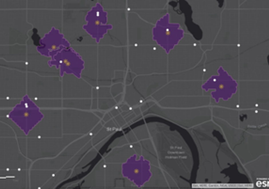
ArcGIS Online is a hosted geographic information system (GIS) created and hosted by Environmental Systems Research Institute (Esri). In a few short years, it has eclipsed desktop software as the most popular tool for mapping and spatial analysis. ArcGIS Online is more than a traditional GIS software in that it also includes access to a wide range of authoritative datasets. ArcGIS fits into the Web 2.0 model where users of the platform are able to create and share maps.

PD-19 - GIS APIs

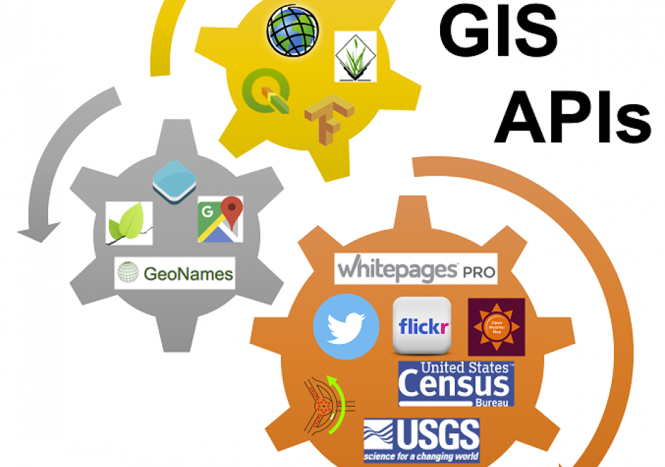
GIS APIs are collections of library modules that resemble various functionalities of GIS software through programming. GIS APIs evolved from desktop GIS. GIS APIs, as a distributed solution, are interoperable, scalable, light-weight, user-friendly, and versatile to a wide range of GIS users. This entry provides an overview of common GIS APIs, their functionalities as well as other related APIs. The general procedure to develop customized GIS applications is briefly discussed and demonstrated in a case study.

Pages