2022 QUARTER 04

A B C D E F G H I J K L M N O P R S T U V W
CV-34 - Map Icon Design

The use of map icons is an efficient way to condense a map object into a concise expression of geospatial data. Like all cartographic design, map icon design merges artistic and scientific elements into symbolic representations intended to be readily legible to map readers. This entry reviews the types of map icons and elements of icon design, including the ways in which the visual variables are used in map icon communication. As communicative devices, icons are imbued with cultural meanings and can oftentimes lead to the preservation of stereotypes. This review concludes with an examination of icons’ perpetuation of – and challenge to – cultural stereotypes.

CV-22 - Map interpretation
  • Identify the landforms represented by specific patterns in contours on a topographic map
  • Hypothesize about geographic processes by synthesizing the patterns found on one or more thematic maps or data visualizations
  • Match features on a map to corresponding features in the world
  • Compare and contrast the interpretation of landscape, geomorphic features, and human settlement types shown on a series of topographic maps from several different countries
CV-30 - Map Production and Management

Map production describes the experience of managing the many aspects and details of map creation. Often the map product is created for someone else—a client, supervisor, or instructor. Describing the intention of the map and evaluating available resources ahead of the project can help the cartographer define content requirements, stay on task, and ultimately meet deadlines. The project management life cycle involves clear communication between the cartographer and client, with resolutions to common questions best addressed at the beginning of the project. The process then iteratively cycles through phases that include research and production, followed by quality control, and concludes with file preparation and delivery.

CV-06 - Map Projections

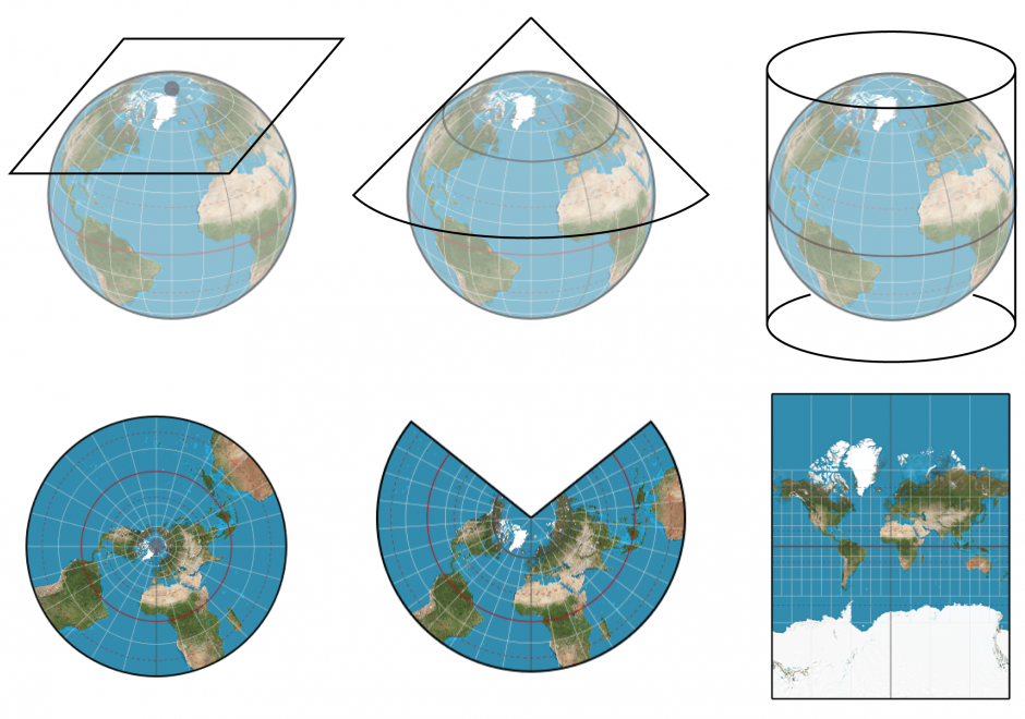
Map projection is the process of transforming angular (spherical / elliptical) coordinates into planar coordinates. All map projections introduce distortion (e.g., to areas, angles, distances) in the resulting planar coordinates. Understanding what, where, and how much distortion is introduced is an important consideration for spatial computations and visual interpretation of spatial patterns, as well as for general aesthetics of any map.

CV-21 - Map Reading

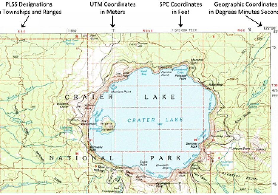
Map reading is the process of looking at the map to determine what is depicted and how the cartographer depicted it. This involves identifying the features or phenomena portrayed, the symbols and labels used, and information about the map that may not be displayed on the map. Reading maps accurately and effectively requires at least a basic understanding of how the mapmaker has made important cartographic decisions relating to map scale, map projections, coordinate systems, and cartographic compilation (selection, classification, generalization, and symbolization). Proficient map readers also appreciate artifacts of the cartographic compilation process that improve readability but may also affect map accuracy and uncertainty. Masters of map reading use maps to gain better understanding of their environment, develop better mental maps, and ultimately make better decisions. Through successful map reading, a person’s cartographic and mental maps will merge to tune the reader’s spatial thinking to the reality of the environment.

GS-26 - Mapping Spatial Justice for Marginal Societies

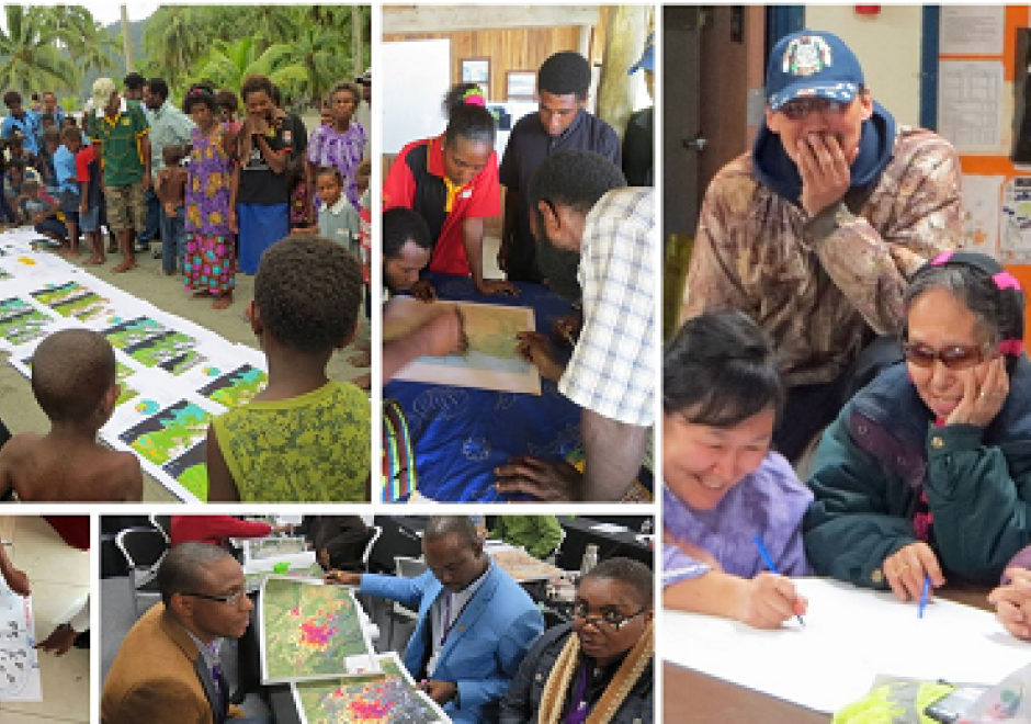
Marginal populations are those populations that are often overlooked by government, dependent upon non-governmental aid, and lack access to basic resources such as water, food, shelter, and security.  However, these groups are increasingly included in partnerships to map their resources (or lack thereof), develop basic applications in geospatial data collection, and devise innovative approaches to participatory mapping using geospatial technologies to address local and regional problems. Rapid technological changes and increased access to mobile geospatial tools enhance data creation efforts to map marginal populations and identify their needs. However, such mapping activities reveal fundamental inequities in collecting, disseminating, and visualizing spatial data.  This chapter defines marginal populations and provides an overview of data needs, geospatial tools, and ethical obligations necessary for these partnerships.

DM-91 - Marine Spatial Data Infrastructure

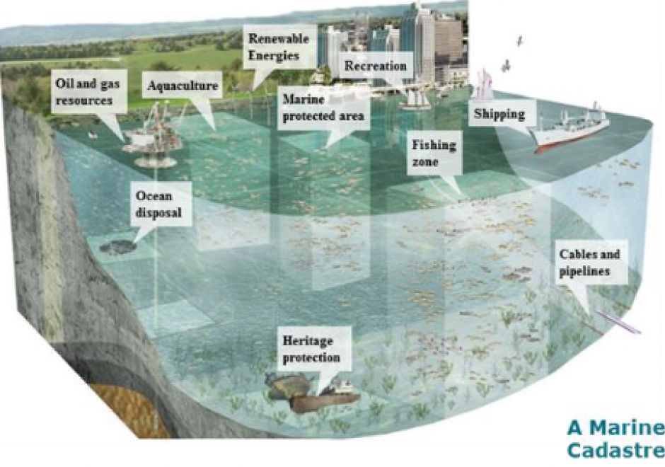
Marine Spatial Data Infrastructure (MSDI), the extension of terrestrial Spatial Data Infrastructure to the marine environment, is a type of cyberinfrastructure that facilitates the discovery, access, management, distribution, reuse, and preservation of hydrospatial data. MSDIs provide timely access to data from public and private organizations of marine related disciplines such as hydrography, oceanography, meteorology and maritime economic sectors, to be used for applications such as the safety of navigation, aquatic and marine activities, economic development, security and defence, scientific research, and marine ecosystems sustainability. This chapter discusses the main pillars of a MSDI, its importance for facilitating public processes such as Marine Spatial Planning and Coastal Zone Management, the wide range of stakeholders, implementation challenges, and future developments, such as the FAIR design principles, new data sources and services.

AM-48 - Mathematical models of uncertainty: probability and statistics
  • Devise simple ways to represent probability information in GIS
  • Describe the basic principles of randomness and probability
  • Compute descriptive statistics and geostatistics of geographic data
  • Interpret descriptive statistics and geostatistics of geographic data
  • Recognize the assumptions underlying probability and geostatistics and the situations in which they are useful analytical tools
KE-17 - Measuring costs
  • Explain how the saying “developing data is the largest single cost of implementing GIS” could be true for an organization that is already collecting data as part of its regular operations
  • Describe some non-fiduciary barriers to GIS implementation
  • Summarize what the literature suggests as means for overcoming some of the non-fiduciary barriers to GIS implementation
  • Outline sources of additional costs associated with development of an enterprise GIS
  • Outline the categories of costs that an organization should anticipate as it plans to design and implement a GIS
GS-08 - Mechanisms of control of geospatial information
  • Distinguish among the various intellectual property rights, including copyright, patent, trademark, business methods, and other rights
  • Explain how databases may be protected under U.S. copyright law
  • Describe advantages and disadvantages of “open” alternatives to copyright protection, such as the Creative Commons
  • Outline the intellectual property protection clause of a contract that a local government uses to license geospatial data to a community group
  • Explain how maps may be protected under U.S. copyright law
  • Differentiate geospatial information from other works protected under copyright law

Pages