AM-90 - Computational Movement Analysis

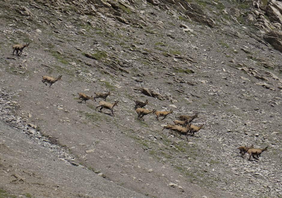
Figure 1. Group movement patterns as illustrated in this coordinated escape behavior of a group of mountain goat (Rubicapra rubicapra) evading approaching hikers on the Fuorcla Trupchun near the Italian/Swiss border are at the core of computational movement analysis. Once the trajectories of moving objects are collected and made accessible for computational processing, CMA aims at a better understanding of the characteristics of movement processes of animals, people or things in geographic space.
Computational Movement Analysis (CMA) develops and applies analytical computational tools aiming at a better understanding of movement data. CMA copes with the rapidly growing data streams capturing the mobility of people, animals, and things roaming geographic spaces. CMA studies how movement can be represented, modeled, and analyzed in GIS&T. The CMA toolbox includes a wide variety of approaches, ranging from database research, over computational geometry to data mining and visual analytics.


AM-09 - Classification and Clustering
Classification and clustering are often confused with each other, or used interchangeably. Clustering and classification are distinguished by whether the number and type of classes are known beforehand (classification), or if they are learned from the data (clustering). The overarching goal of classification and clustering is to place observations into groups that share similar characteristics while maximizing the separation of the groups that are dissimilar to each other. Clusters are found in environmental and social applications, and classification is a common way of organizing information. Both are used in many areas of GIS including spatial cluster detection, remote sensing classification, cartography, and spatial analysis. Cartographic classification methods present a simplified way to examine some classification and clustering methods, and these will be explored in more depth with example applications.