Search Page

Showing 1 - 5 of 5
KE-31 - Professional Certification

Professional Certification has been a part of the GIS enterprise for over two decades. There are several different certification programs and related activities now in operation within GIS, though there has been much debate over its merits, how it should be done and by whom. 

KE-19 - Managing GIS&T Operations and Infrastructure
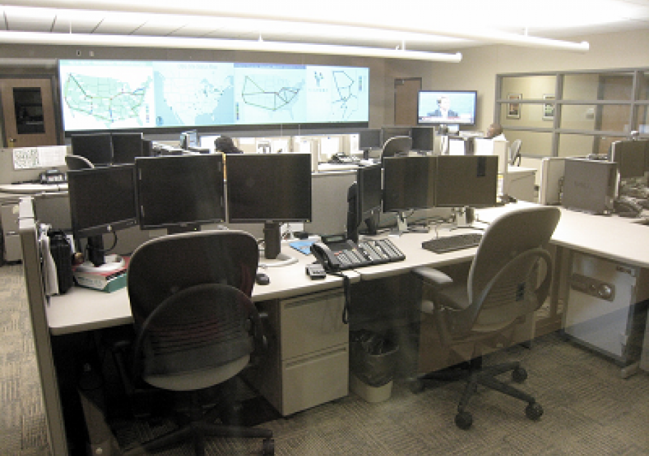
This article discusses the key role of effective management practices to derive expected benefits from the infrastructure and operations of enterprise GIS, including needs assessment, data evaluation and management, and stakeholder involvement. It outlines management factors related to an emerging application of enterprise GIS.  How to configure GIS infrastructure and operations to support enterprise business needs is the focus. When appropriate, additional information is provided for programs, projects, and activities specifically relevant for equity and social justice.

KE-32 - Competence in GIS&T Knowledge Work

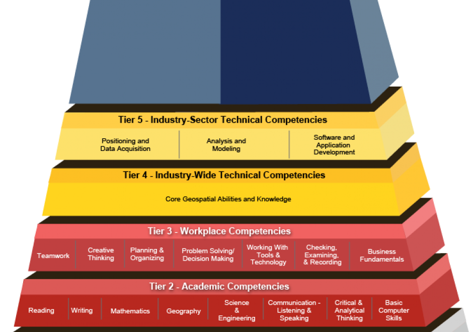
“Competence” is a word that rolls off the tongues of instructional designers, education administrators, and HR people. Others find it hard to swallow. For some GIS&T educators, competence connotes an emphasis on vocational instruction that’s unworthy of the academy. This entry challenges skeptical educators to rethink competence not just as readiness for an occupation, but first and foremost as the readiness to live life to the fullest, and to contribute to a sustainable future. The entry considers the OECD’s “Key Competencies for a Successful Life and Well-Functioning Society,” as well as the specialized GIS&T competencies specified in the U.S. Department of Labor’s Geospatial Technology Competency Model. It presents findings of a survey in which 226 self-selected members of Esri’s Young Professionals Network observe that competencies related to the GTCM’s Software and App Development Segment were under-developed in their university studies. Looking ahead, in the context of an uncertain future in which, some say, many workers are at risk of “technological unemployment,” the entry considers which GIS&T competencies are likely to be of lasting value.

DA-45 - GIS&T in Business

Geographic Information Systems and Technology are utilized extensively in the business sector and have become a strategic element for competition and partnering.  Although the traditional digital map layers and tables remain at the core of business GIS, the spatial architecture in firms now includes location analytics, location intelligence, AI, machine learning, imagery, social media linkages.  Cloud-based solutions provide platform flexibility, centralized data, and potential to roll out user-friendly webGIS across large segments of business users and customers. GIS is well suited to the digital transformations that are essential for firms, large and small.  With these advances, GIS has become prominent and its function has moved upwards in companies’ organizational hierarchies, with enterprise GIS even being recognized in the C-suite.  UPS is an example in which GIS is now a critical corporate competitive factor. In spite of these successes, a gap remains in the supply of skilled spatial workforce for companies. Business schools can contribute by changing by school leadership “getting it” about spatial, bringing GIS into the mainstream curricula, developing training for business faculty in teaching, conducting research in location analytics, and populating student body and alumni base with knowledge and enthusiasm for spatial thinking and management.

KE-33 - Organizational Models for GIS Management

Organizational structures and management practices for GIS programs are numerous and complex. This topic begins with an explanation of organizational and management concepts and context that are particularly relevant to GIS program and project management, including strategic planning and stakeholders. Specific types of organizations that typically use GIS technology are described and organizational structure types are explained. For GIS Program management, organizational placement, organizational components, and management control and policies are covered in depth. Multi-organizational GIS Programs are also discussed. Additional topics include management roles and technology trends that affect organizational structure. It concludes with a general description of GIS Project management.