DM-20 - Entity-based Models

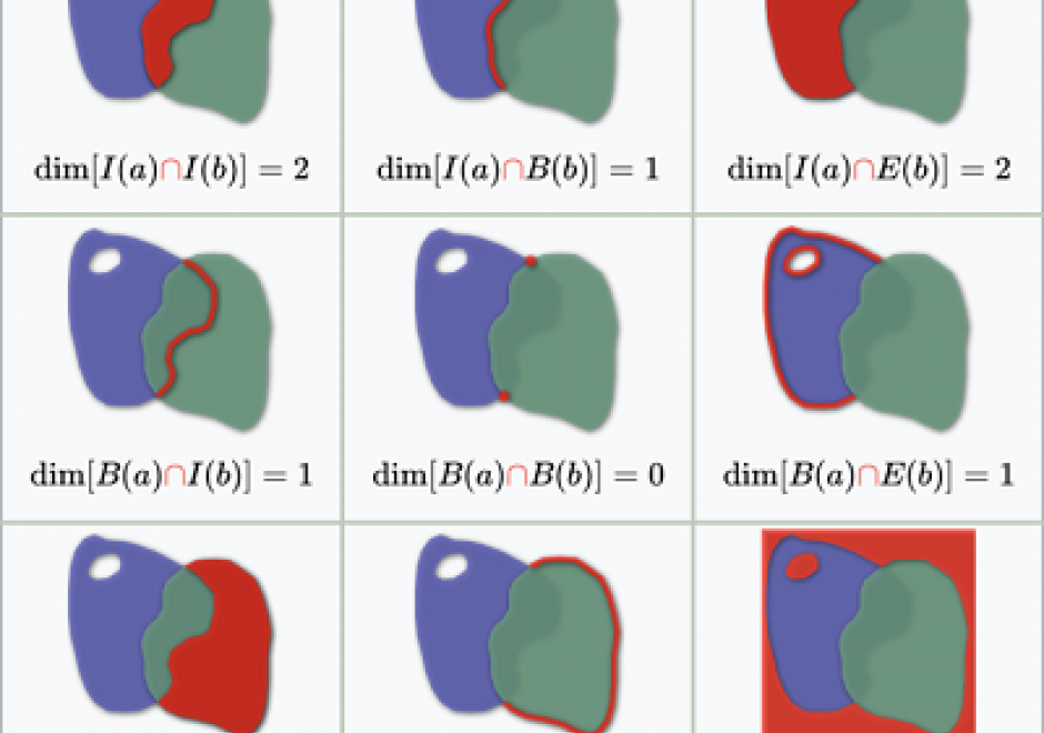
As we translate real world phenomena into data structures that we can store in a computer, we must determine the most appropriate spatial representation and how it relates to the characteristics of such a phenomenon. All spatial representations are derivatives of graph theory and should therefore be described in such terms. This then helps to understand the principles of low-level GIS operations. A constraint-driven approach allows the reader to evaluate implementations of the geo-relational principle in terms of the hierarchical level of mathematical space adopted.

DM-90 - Hydrographic Geospatial Data Standards
Coastal nations, through their dedicated Hydrographic Offices (HOs), have the obligation to provide nautical charts for the waters of national jurisdiction in support of safe maritime navigation. Accurate and reliable charts are essential to seafarers whether for commerce, defense, fishing, or recreation. Since navigation can be an international activity, mariners often use charts published from different national HOs. Standardization of data collection and processing, chart feature generalization methods, text, symbology, and output validation becomes essential in providing mariners with consistent and uniform products regardless of the region or the producing nation. Besides navigation, nautical charts contain information about the seabed and the coastal environment useful in other domains such as dredging, oceanography, geology, coastal modelling, defense, and coastal zone management. The standardization of hydrographic and nautical charting activities is achieved through various publications issued by the International Hydrographic Organization (IHO). This chapter discusses the purpose and importance of nautical charts, the establishment and role of the IHO in coordinating HOs globally, the existing hydrographic geospatial data standards, as well as those under development based on the new S-100 Universal Hydrographic Data Model.