Search Page

Showing 1 - 6 of 6
DM-85 - Point, Line, and Area Generalization

Generalization is an important and unavoidable part of making maps because geographic features cannot be represented on a map without undergoing transformation. Maps abstract and portray features using vector (i.e. points, lines and polygons) and raster (i.e pixels) spatial primitives which are usually labeled. These spatial primitives are subjected to further generalization when map scale is changed. Generalization is a contradictory process. On one hand, it alters the look and feel of a map to improve overall user experience especially regarding map reading and interpretive analysis. On the other hand, generalization has documented quality implications and can sacrifice feature detail, dimensions, positions or topological relationships. A variety of techniques are used in generalization and these include selection, simplification, displacement, exaggeration and classification. The techniques are automated through computer algorithms such as Douglas-Peucker and Visvalingam-Whyatt in order to enhance their operational efficiency and create consistent generalization results. As maps are now created easily and quickly, and used widely by both experts and non-experts owing to major advances in IT, it is increasingly important for virtually everyone to appreciate the circumstances, techniques and outcomes of generalizing maps. This is critical to promoting better map design and production as well as socially appropriate uses.

DM-90 - Hydrographic Geospatial Data Standards
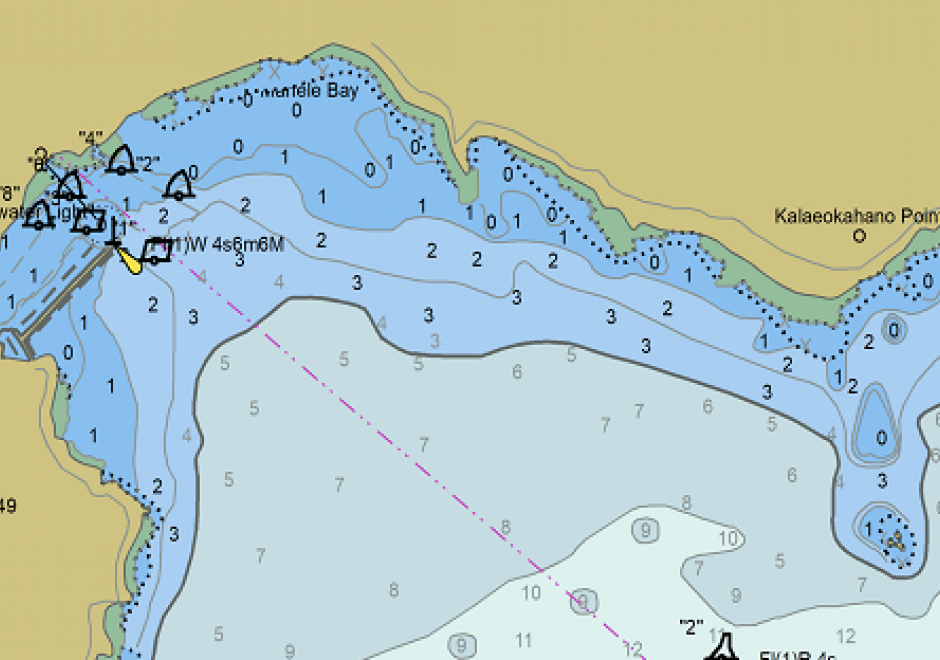
Coastal nations, through their dedicated Hydrographic Offices (HOs), have the obligation to provide nautical charts for the waters of national jurisdiction in support of safe maritime navigation. Accurate and reliable charts are essential to seafarers whether for commerce, defense, fishing, or recreation. Since navigation can be an international activity, mariners often use charts published from different national HOs. Standardization of data collection and processing, chart feature generalization methods, text, symbology, and output validation becomes essential in providing mariners with consistent and uniform products regardless of the region or the producing nation. Besides navigation, nautical charts contain information about the seabed and the coastal environment useful in other domains such as dredging, oceanography, geology, coastal modelling, defense, and coastal zone management. The standardization of hydrographic and nautical charting activities is achieved through various publications issued by the International Hydrographic Organization (IHO). This chapter discusses the purpose and importance of nautical charts, the establishment and role of the IHO in coordinating HOs globally, the existing hydrographic geospatial data standards, as well as those under development based on the new S-100 Universal Hydrographic Data Model.

DM-20 - Entity-based Models

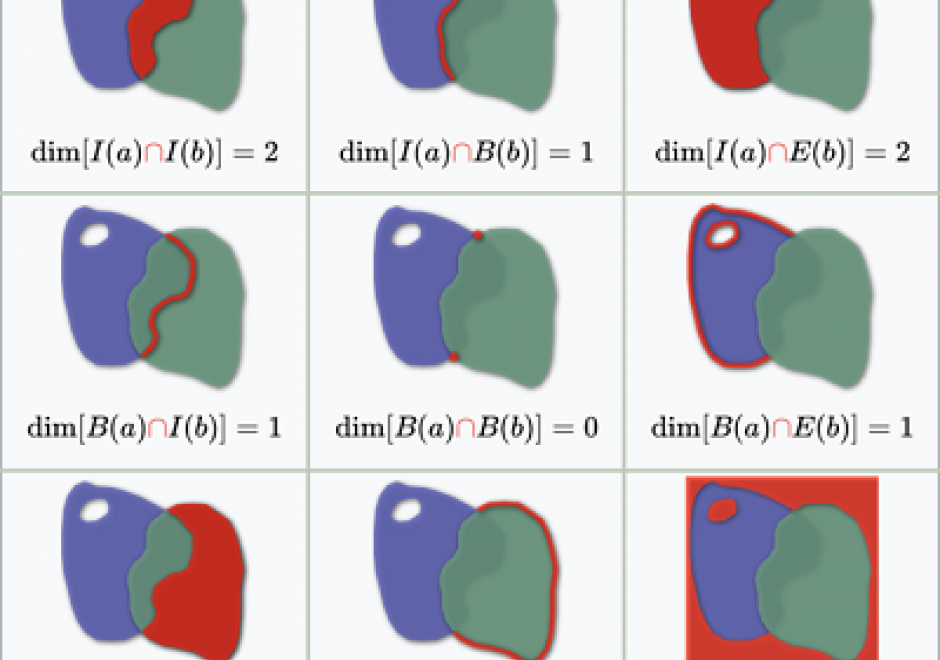
As we translate real world phenomena into data structures that we can store in a computer, we must determine the most appropriate spatial representation and how it relates to the characteristics of such a phenomenon. All spatial representations are derivatives of graph theory and should therefore be described in such terms. This then helps to understand the principles of low-level GIS operations. A constraint-driven approach allows the reader to evaluate implementations of the geo-relational principle in terms of the hierarchical level of mathematical space adopted.

GS-15 - Feminist Critiques of GIS

Feminist interactions with GIS started in the 1990s in the form of strong critiques against GIS inspired by feminist and postpositivist theories. Those critiques mainly highlighted a supposed epistemological dissonance between GIS and feminist scholarship. GIS was accused of being shaped by positivist and masculinist epistemologies, especially due to its emphasis on vision as the principal way of knowing. In addition, feminist critiques claimed that GIS was largely incompatible with positionality and reflexivity, two core concepts of feminist theory. Feminist critiques of GIS also discussed power issues embedded in GIS practices, including the predominance of men in the early days of the GIS industry and the development of GIS practices for the military and surveillance purposes.

At the beginning of the 21st century, feminist geographers reexamined those critiques and argued against an inherent epistemological incompatibility between GIS methods and feminist scholarship. They advocated for a reappropriation of GIS by feminist scholars in the form of critical feminist GIS practices. The critical GIS perspective promotes an unorthodox, reconstructed, and emancipatory set of GIS practices by critiquing dominant approaches of knowledge production, implementing GIS in critically informed progressive social research, and developing postpositivist techniques of GIS. Inspired by those debates, feminist scholars did reclaim GIS and effectively developed feminist GIS practices.

DM-70 - Problems of Large Spatial Databases

Large spatial databases often labeled as geospatial big data exceed the capacity of commonly used computing systems as a result of data volume, variety, velocity, and veracity. Additional problems also labeled with V’s are cited, but the four primary ones are the most problematic and focus of this chapter (Li et al., 2016, Panimalar et al., 2017).  Sources include satellites, aircraft and drone platforms, vehicles, geosocial networking services, mobile devices, and cameras. The problems in processing these data to extract useful information include query, analysis, and visualization. Data mining techniques and machine learning algorithms, such as deep convolutional neural networks, often are used with geospatial big data. The obvious problem is handling the large data volumes, particularly for input and output operations, requiring parallel read and write of the data, as well as high speed computers, disk services, and network transfer speeds. Additional problems of large spatial databases include the variety and heterogeneity of data requiring advanced algorithms to handle different data types and characteristics, and integration with other data. The velocity at which the data are acquired is a challenge, especially using today’s advanced sensors and the Internet of Things that includes millions of devices creating data on short temporal scales of micro seconds to minutes. Finally, the veracity, or truthfulness of large spatial databases is difficult to establish and validate, particularly for all data elements in the database.

GS-27 - GIS&T for Equity and Social Justice

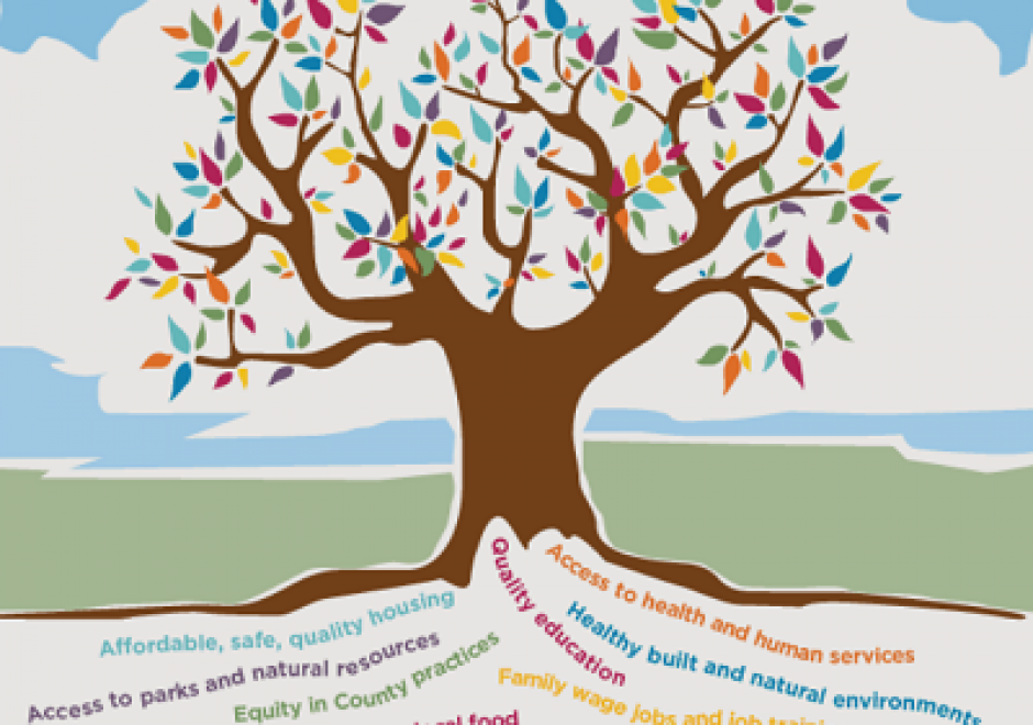
A geographic information system (GIS) can be used effectively for activities, programs, and analyses focused on equity and social justice (ESJ).  Many types of inequities exist in society, but race and space are key predictors of inequity. A key concept of social justice is that any person born into society, no matter where they were born or live, will have an equitable opportunity to achieve successful life outcomes and to thrive. Geographic information science and its technologies (GIS&T) provide powerful tools to analyze equity and social justice issues and help government agencies apply an equity lens to every aspect of their administration. Given the reliance on spatial data to represent and analyze matters of ESJ, the use of these tools is necessary, logical, and appropriate. Some types of analyses and mapping commonly used with ESJ programs require careful attention to how data are combined and represented, risking misleading or false conclusions otherwise. Such outcomes could build mistrust when trust is most needed. A GIS-supported lifecycle for ESJ is presented that includes stages of exploratory issue analysis, community feedback, pro-equity programs analysis, management monitoring and stakeholder awareness, program performance metrics, and effectiveness analysis.