DC-25 - Changes in Geospatial Data Capture Over Time: Part 1, Technological Developments

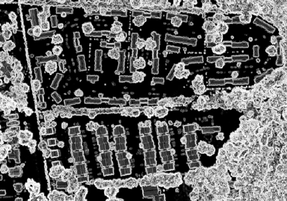
Geographic Information Systems (GIS) are fueled by geospatial data. This comprehensive article reviews the evolution of procedures and technologies used to create the data that fostered the explosion of GIS applications. It discusses the need to geographically reference different types of information to establish an integrated computing environment that can address a wide range of questions. This includes the conversion of existing maps and aerial photos into georeferenced digital data. It covers the advancements in manual digitizing procedures and direct digital data capture. This includes the evolution of software tools used to build accurate data bases. It also discusses the role of satellite based multispectral scanners for Earth observation and how LiDAR has changed the way that we measure and represent the terrain and structures. Other sections deal with building GIS data directly from street addresses and the construction of parcels to support land record systems. It highlights the way Global Positioning Systems (GPS) technology coupled with wireless networks and cloud-based applications have spatially empowered millions of users. This combination of technology has dramatically affected the way individuals search and navigate in their daily lives while enabling citizen scientists to be active participants in the capture of spatial data. For further information on changes to data capture, see Part 2: Implications and Case Studies.

AM-106 - Error-based Uncertainty
The largest contributing factor to spatial data uncertainty is error. Error is defined as the departure of a measure from its true value. Uncertainty results from: (1) a lack of knowledge of the extent and of the expression of errors and (2) their propagation through analyses. Understanding error and its sources is key to addressing error-based uncertainty in geospatial practice. This entry presents a sample of issues related to error and error based uncertainty in spatial data. These consist of (1) types of error in spatial data, (2) the special case of scale and its relationship to error and (3) approaches to quantifying error in spatial data.