2016 QUARTER 02

A B C D E F G H I K L M N O P R S T U V W
DA2-5 - Social, political, and cultural issues
  • Recognize the unique constraints or opportunities of the social or cultural context of a potential application
  • Compare and contrast the needs, constraints, and opportunities of different types of institutions, such as corporations, non-profit organizations, government agencies, and educational institutions
DA3-2 - Software systems
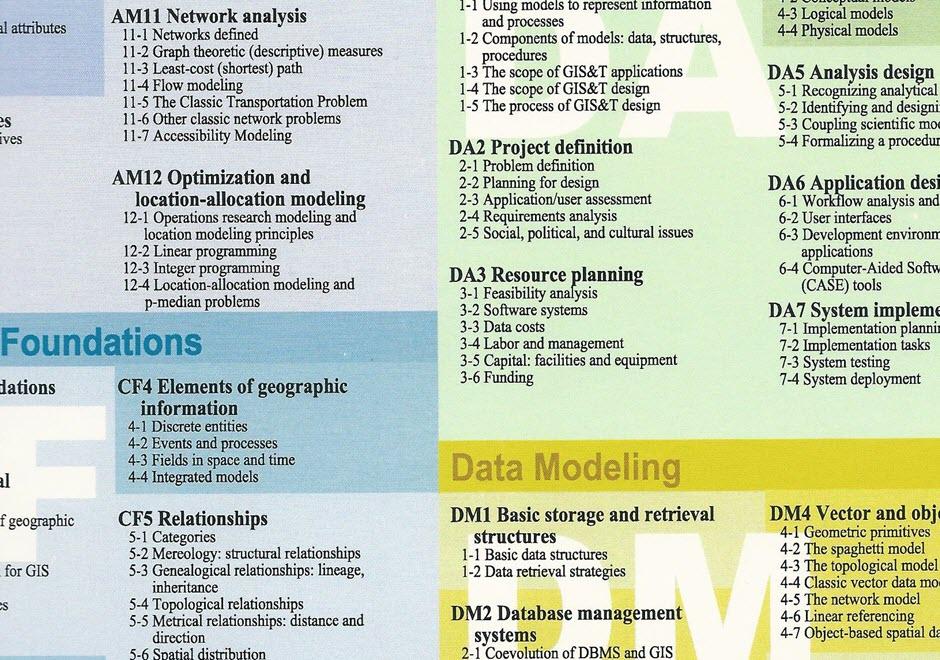
  • Describe the major geospatial software architectures available currently, including desktop GIS, server-based, Internet, and component-based custom applications
  • Describe non-spatial software that can be used in geospatial applications, such as databases, Web services, and programming environments
  • Compare and contrast the primary sources of geospatial software, including major and minor commercial vendors and open-source options
  • List the major functionality needed from off-the-shelf software based on a requirements report
  • Identify software options that meet functionality needs for a given task or enterprise
  • Evaluate software options that meet functionality needs for a given task or enterprise
CV2-1 - Source materials for mapping
  • List the data required to explore a specified problem
  • Discuss the extent, classification, and currency of government data sources and their influence on mapping
  • List the data required to compile a map that conveys a specified message
  • Discuss the issue of conflation of data from different sources or for different uses as it relates to mapping
  • Describe a situation in which it would be acceptable to use smaller-scale data sources for compilation to compile a larger scale map
  • Describe the copyright issues involved in various cartographic source materials
  • Explain how data acquired from primary sources, such as satellite imagery and GPS, differ from data compiled from maps, such as DLGs
  • Explain how digital data compiled from map sources influences how subsidiary maps are compiled and used
  • Explain how geographic names databases (i.e., gazetteer) are used for mapping
  • Explain how the inherent properties of digital data, such as Digital Elevation Models, influence how maps can be compiled from them
  • Identify the types of attributes that will be required to map a particular distribution for selected geographic features
  • Determine the standard scale of compilation of government data sources
  • Assess the data quality of a source dataset for appropriateness for a given mapping task, including an evaluation of the data resolution, extent, currency or date of compilation, and level of generalization in the attribute classification
  • Compile a map using at least three data sources
CF3-1 - Space
  • Differentiate between absolute and relative descriptions of location
  • Define the four basic dimensions or shapes used to describe spatial objects (i.e., points, lines, regions, volumes)
  • Discuss the contributions that different perspectives on the nature of space bring to an understanding of geographic phenomenon
  • Justify the discrepancies between the nature of locations in the real world and representations thereof (e.g., towns as points)
  • Select appropriate spatial metaphors and models of phenomena to be represented in GIS
  • Develop methods for representing non-cartesian models of space in GIS
  • Discuss the advantages and disadvantages of the use of cartesian/metric space as a basis for GIS and related technologies
  • Differentiate between common-sense, Cartesian/metric, relational, relativistic, phenomenological, social constructivist, and other theories of the nature of space
GC2-7 - Space-scale algorithms
  • Describe how space-scale algorithms can, or should, be used
AM5-3 - Spatial cluster analysis
  • Identify several cluster detection techniques and discuss their limitations
  • Demonstrate the extension of spatial clustering to deal with clustering in space-time using the Know and Mantel tests
  • Perform a cluster detection analysis to detect “hot spots” in a point pattern
  • Discuss the characteristics of the various cluster detection techniques
GD12-6 - Spatial data infrastructures
  • Obtain data from a spatial data infrastructure for a particular application
  • Explain the vision, history, and status of the U.S. National Map
  • Explain the vision, history, and status of the U.S. National Spatial Data Infrastructure
  • Compare and contrast U.S. initiatives to European geographic information infrastructures
  • Explain the vision, history, and status of the Global Spatial Data Infrastructure
OI5-1 - Spatial data infrastructures
  • Explain how clearing houses, metadata, and standards can help facilitate spatial data sharing
  • Explain how privacy and commoditization of data impact decisions regarding spatial data infrastructures
OI5-4 - Spatial data sharing among organizations
  • Describe the rationale for and against sharing data among organizations
  • Describe the barriers to information sharing
  • Describe methods used by organizations to facilitate data sharing
CF5-6 - Spatial distribution
  • Find spatial patterns in the distribution of geographic phenomena using geographic visualization and other techniques
  • Hypothesize the causes of a pattern in the spatial distribution of a phenomenon
  • Differentiate among distributions in space, time, and attribute
  • Identify influences of scale on the appearance of distributions
  • Employ techniques for visualizing, describing, and analyzing distributions in space, time, and attribute
  • Discuss the causal relationship between spatial processes and spatial patterns, including the possible problems in determining causality

Pages