DA-23 - GIS&T and Marine Science
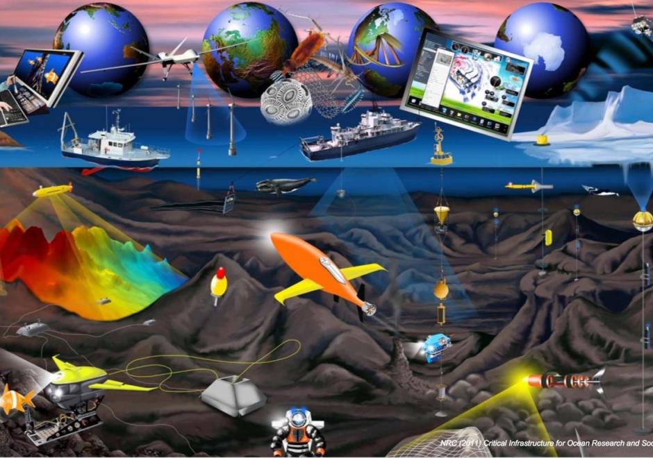
Image courtesy of the National Academy of Sciences Ocean Studies Board
GIS&T has traditionally provided effective technological solutions to the integration, visualization, and analysis of heterogeneous, georeferenced data on land. In recent years, our ability to measure change in the ocean is increasing, not only because of improved measuring devices and scientific techniques, but also because new GIS&T is aiding us in better understanding this dynamic environment. The domain has progressed from applications that merely collect and display data to complex simulation, modeling, and the development of new research methods and concepts.




DA-05 - GIS&T and Local Government
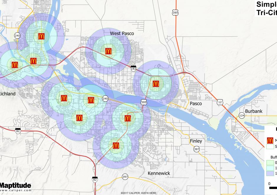
GIS is an important tool for local governments. It is utilized to provide spatial information, metrics, and visualizations to constituents, businesses, and decision-makers. Internally, a well-managed GIS can be the basis for innovation and process improvement and can be a single source for employees to find a plethora of integrated data. This entry discusses how GIS supports local government, important considerations for maintaining a successful local government GIS, and current trends. This entry is based on the author’s experience in a GIS program at a medium-sized city in the Rocky Mountain Region of the United States. Not everything discussed may apply to other areas of the country or world. Additionally, smaller-sized programs may not have the resources to implement everything discussed. The key purpose of this entry is to provide students and instructors with tangible examples of processes, skills, and organizational structures that make for an effective local government GIS.