2021 QUARTER 04

A B C D E F G H I J K L M N O P R S T U V W
DA-35 - GIS&T and Public Health

Contemporary environmental problems, global climate change, globalization, and urbanization have imposed severe impacts on human health. Meanwhile, disparity became a major concern in healthcare policy making and resource allocation. Within this context, GIS have been rapidly expanding and deepening their applications in the domain of public health. GIS applications in public health can be classified into three broad categories: 1) spatial/spatiotemporal modeling of specific diseases, including chronic diseases and communicable diseases, as well as their associations with environmental risks; 2) spatial/spatiotemporal modeling of environmental exposures from physical, behavioral, and/or socioeconomic environments; and 3) studies on healthcare services, including assessment of geographic access to healthcare facilities, investigation of disparity in the access, and optimization of resource allocation. The boundaries between these divisions are not clear-cut. Meanwhile, applications in public health have also been pushing the frontiers of GIS research on spatiotemporal modeling, high-performance computing, uncertainty, big data of human mobility, and geospatial privacy.

DA-36 - GIS&T and Public Policy

Public policy is the formal and informal guiding principles that are used by governments and other decision-making entities to guide our everyday lives. Geographic Information Science and Technology (GIS&T) has had an impact on the public policy process since GIS&T’s earliest beginnings in the 1960s. Advances in the development and availability of both geospatial technology and geospatial data paralleled a growing use of data-driven rational planning and decision-making models in policy making at all levels of government. Today more than ever, successful public policy depends on high-quality data and the technology that communicates its meaning effectively. Beyond the rational application of scientific or systematic methods, public policy is about values and how values affect, and are affected by, policies. This requires delivery of credible information in a transparent, understandable form not only to decision makers responsible for adopting policy, but also to various categories of stakeholders whose behavior will be impacted in some way by the policy’s implementation. GIS&T continues to play an important role in that endeavor, including making value conflicts more seeable and knowable. Included in the entry is a summary of the public policy process and its participants, followed by a brief overview of how GIST’s role in public policy has evolved over the last 50 years. The entry concludes by outlining a sample of real-world applications and presenting a discussion of related issues and future considerations.

DA-10 - GIS&T and Real Estate

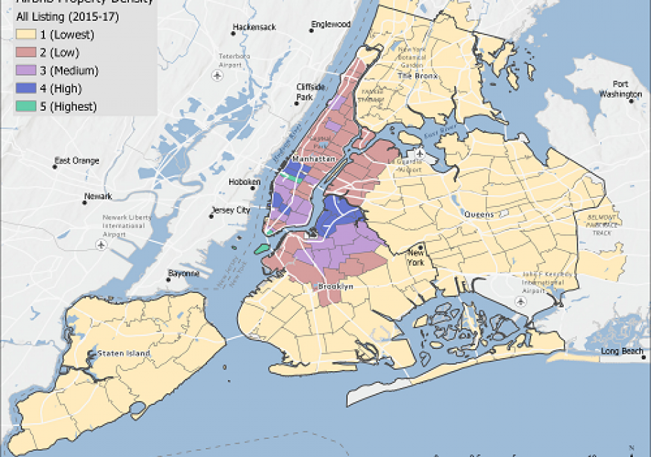
Real Estate GIS concerns all dimensions of real estate that can be better understood or operationalized by knowing its geospatial context. Improving real estate decisions via GIS and related geospatial technologies is now expected by management of all industries, as well as home-renters and home-buyers in the residential market. Real Estate GIS Specialists are individuals who have applied knowledge and skills across the disciplines of business geography, the practice of real estate, and the application of geospatial technologies to support decision making in this realm. There is a good reason why the mantra of “location, location, location” is a long-standing tenet within the business of real estate.

DA-38 - GIS&T and Retail Business

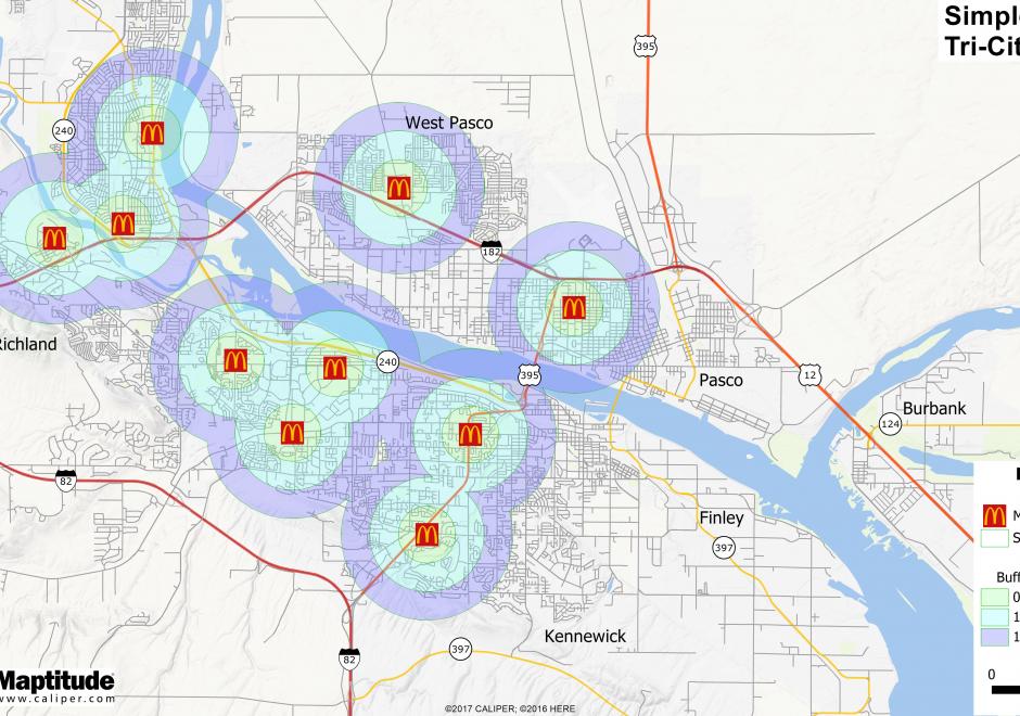
Where should a retail business occur or locate within a region?  What would that trade area look like?  Should a retail expansion occur and how would that affect sales of other nearby existing locations?  Would a new retail location have the right demographic or socio-economic customer base to be profitable?  These are important questions for retailers to consider.  Within the evolving landscape of GIS, there is more geospatial data than ever before about the potential customer.  In retail, the application of maps and mapping technology is growing to include commercial real estate, logistics, and marketing to name a few.  There has been an increased momentum across commercial applications for geospatial technologies delivered in an easy to comprehend format for a variety of end users.  

DA-11 - GIS&T and the Digital Humanities

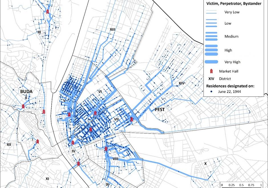
This entry reviews the use of GIS&T in the digital humanities and in the spatial humanities, highlighting opportunities for interdisciplinary collaborations between GIScientists and humanities scholars, including in history, archeology, and literary studies. Challenges are highlighted as well, including epistemological and ontological differences between the spatial, abstract, and quantitative view of the world of GIS&T and GIScience and the humanities emphasis on place and qualitative methods. The potential of mixed methods to bring together different epistemological perspectives is discussed in this context. Scale is identified as a promising geographical framework for humanities research, both in its metaphorical aspects and as intended in cartography. Examples of the use of GIS&T and GIScience in the humanities are provided, including historical GIS, geohistorical gazetteers, archeology and GIS, and GIS in literary studies. The entry is framed historically, with reference to the work of Bakhtin, Braudel, and Hägerstrand, who are early influencers of the spatial turn in the humanities. Among the research directions briefly explored are the GIS of place, deep maps, and qualitative GIS, which exemplify how the collaboration between GIScience and the humanities can be strengthened.

KE-25 - GIS&T Education and Training

GIS education and training have their roots both in formal educational settings and in professional development.  Methods and approaches for teaching and learning about and with geospatial technologies have evolved in tight connection with the advances in the internet and personal computers.  The adoption and integration of GIS and related geospatial technologies into dozens of academic disciplines has led to a high demand for instruction that is targeted and timely, a combination that is challenging to meet consistently with diverse audiences and in diverse settings. Academic degrees, concentrations, minors, certificates, and numerous other programs abound within formal and informal education.

GS-27 - GIS&T for Equity and Social Justice

A geographic information system (GIS) can be used effectively for activities, programs, and analyses focused on equity and social justice (ESJ).  Many types of inequities exist in society, but race and space are key predictors of inequity. A key concept of social justice is that any person born into society, no matter where they were born or live, will have an equitable opportunity to achieve successful life outcomes and to thrive. Geographic information science and its technologies (GIS&T) provide powerful tools to analyze equity and social justice issues and help government agencies apply an equity lens to every aspect of their administration. Given the reliance on spatial data to represent and analyze matters of ESJ, the use of these tools is necessary, logical, and appropriate. Some types of analyses and mapping commonly used with ESJ programs require careful attention to how data are combined and represented, risking misleading or false conclusions otherwise. Such outcomes could build mistrust when trust is most needed. A GIS-supported lifecycle for ESJ is presented that includes stages of exploratory issue analysis, community feedback, pro-equity programs analysis, management monitoring and stakeholder awareness, program performance metrics, and effectiveness analysis.

DA-45 - GIS&T in Business

Geographic Information Systems and Technology are utilized extensively in the business sector and have become a strategic element for competition and partnering.  Although the traditional digital map layers and tables remain at the core of business GIS, the spatial architecture in firms now includes location analytics, location intelligence, AI, machine learning, imagery, social media linkages.  Cloud-based solutions provide platform flexibility, centralized data, and potential to roll out user-friendly webGIS across large segments of business users and customers. GIS is well suited to the digital transformations that are essential for firms, large and small.  With these advances, GIS has become prominent and its function has moved upwards in companies’ organizational hierarchies, with enterprise GIS even being recognized in the C-suite.  UPS is an example in which GIS is now a critical corporate competitive factor. In spite of these successes, a gap remains in the supply of skilled spatial workforce for companies. Business schools can contribute by changing by school leadership “getting it” about spatial, bringing GIS into the mainstream curricula, developing training for business faculty in teaching, conducting research in location analytics, and populating student body and alumni base with knowledge and enthusiasm for spatial thinking and management.

DA-47 - GIS&T in International Affairs

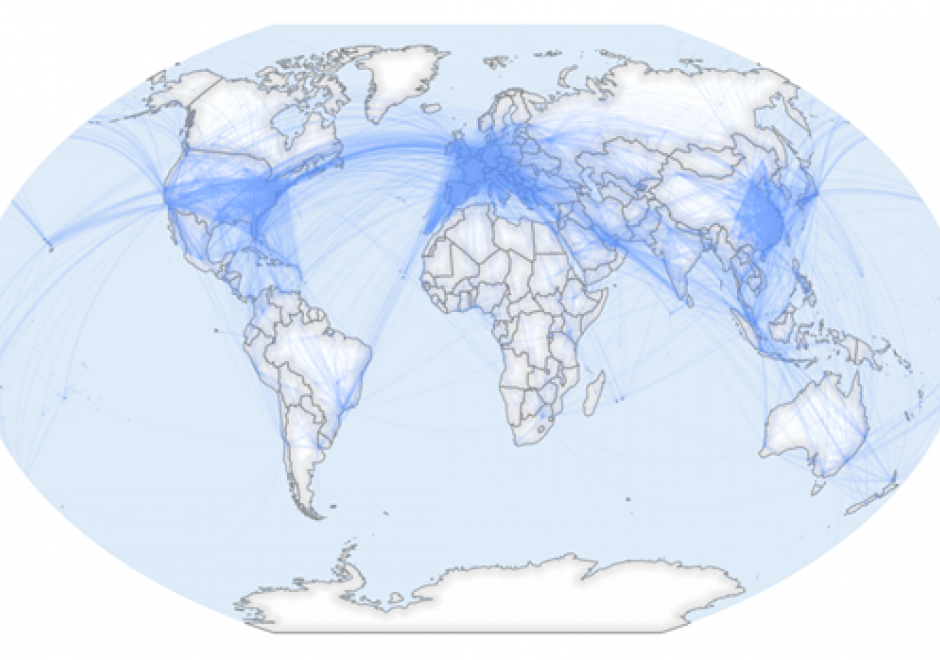
GIS applications within the International Affairs domain are vast, and they include: the analysis and representation of flows and stops of people, resources, and capital across borders, humanitarian assistance, war, conflict, and surveillance, and analysis of border-crossing spatial phenomena such as natural disasters and climate change.

Due to the wide range of potential thematic data, GIS for International Affairs should be a balance of hands-on practical application skills and critical thinking about spatial concepts of scale, boundaries, borders, and flows. GIS scholars and practitioners in this domain should learn to think critically about how and where spatial data is created, the people and cultures impacted by spatial data-driven decisions, and the equity of who is involved in such decisions. Students should learn how spatial data is created, how major datasets in the field are built, and how to design datasets during fieldwork for robust spatial analysis. Through all of this, critical thinking around which people and places are counted and represented should be maintained.

GIS in International Affairs must always contend with the colonial history of cartography, seeking now to understand how modern-day spatial technologies are always constituted by and embedded in constructions of power.

DA-33 - GIS&T in Urban and Regional Planning

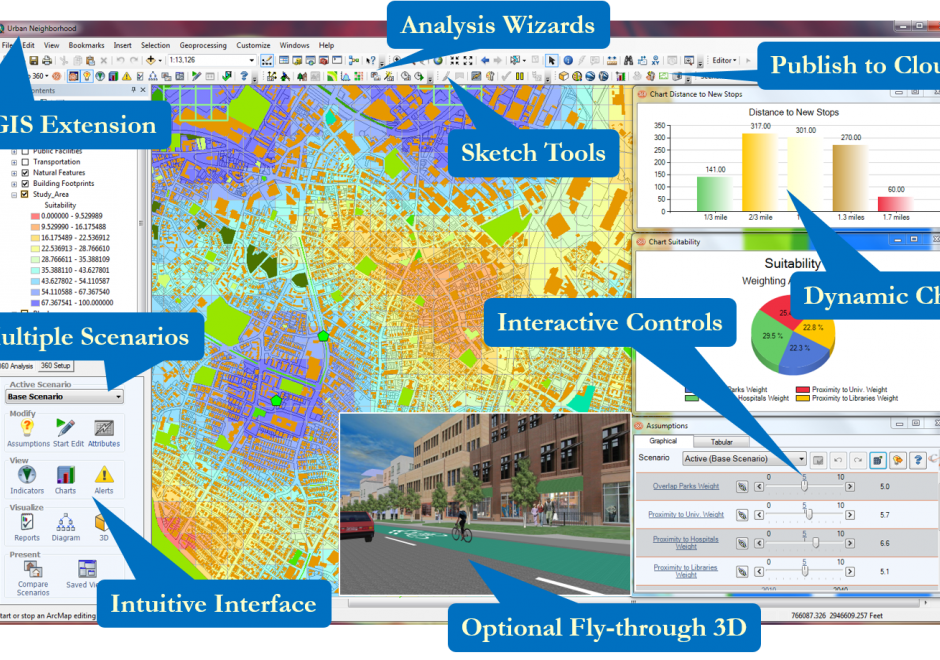
Professionals within the urban and regional planning domain have long utilized GIS&T to better understand cities through mapping urban data, representing new proposals, and conducting modeling and analysis to help address urban problems. These activities include spatial data collection and management, cartography, and a variety of applied spatial analysis techniques. Urban and regional planning has developed the sub-fields of planning support systems and Geodesign, both of which describe a combination of technologies and methods to incorporate GIS&T into collaborative planning contexts. In the coming years, shifting patterns of global urbanization, smart cities, and urban big data present emerging opportunities and challenges for urban planning professionals.

Pages