FC-14 - Directional Operations

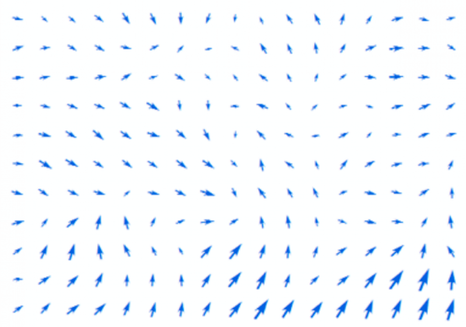
In the same manner as distance, direction plays an equally important role in GIS. This article first summarizes different ways of measuring direction, either quantitatively or qualitatively. Formulas and examples are provided. In the following discussion, fundamental differences between distance and direction in describing spatial relations is examined; properties of angles are emphasized in the context of GIS; and the classification of both cardinal and projective direction is illustrated. With a focus on quantitative operations, various directional operations are categorized and elaborated based on factors such as the underlying data model (vector or raster) and whether direction effect is explicitly or implicitly embedded in the data.


CP-04 - Artificial Intelligence Tools and Platforms for GIS
Artificial intelligence is the study of intelligence agents as demonstrated by machines. It is an interdisciplinary field involving computer science as well as, various kinds of engineering and science, for example, robotics, bio-medical engineering, that accentuates automation of human acts and intelligence through machines. AI represents state-of-the-art use of machines to bring about algorithmic computation and understanding of tasks that include learning, problem solving, mapping, perception, and reasoning. Given the data and a description of its properties and relations between objects of interest, AI methods can perform the aforementioned tasks. Widely applied AI capabilities, e.g. learning, are now achievable at large scale through machine learning (ML), large volumes of data and specialized computational machines. ML encompasses learning without any kind of supervision (unsupervised learning) and learning with full supervision (supervised learning). Widely applied supervised learning techniques include deep learning and other machine learning methods that require less data than deep learning e.g. support vector machines, random forests. Unsupervised learning examples include dictionary learning, independent component analysis, and autoencoders. For application tasks with less labeled data, both supervised and unsupervised techniques can be adapted in a semi-supervised manner to produce accurate models and to increase the size of the labeled training data.