All Topics

Computer programming and development are critical to the past, present, and future of geospatial systems and techniques. The increasing ubiquity and diversity of online, mobile, and desktop GIS platforms along with the inclusion of cyber-infrastructure components within the bounds of geographic information systems (e.g., supercomputing, wireless sensor networks) means that GIS researchers and professionals need to be fluent in multiple forms of programming, and the life-cycles of system and software development.

Topics in this Knowledge Area are listed thematically below. Existing topics are in regular font and linked directly to their original entries (published in 2006; these contain only Learning Objectives). Entries that have been updated and expanded are in bold. Forthcoming, future topics are italicized


Algorithm Design/Algorithmic Approaches Programming Languages & Libraries
Real-time GIS Programming and Geocomputation Python for GIS
Natural Language Processing in GIScience Applications PySAL and Spatial Statistics Libraries
Machine Learning Programming for GIS R for Geospatial Analysis & Mapping
Linear Programming and GIS Javascript for GIS
GIS and Parallel Programming SQL Languages for GIS
Object-oriented Programming in GIS Applications GDAL/OGR and IO Libraries
  Application Development
Development Tools Design, Development, Testing, and Deployment of GIS Applications
Visual Programming for GIS Applications Verification & Validation of GIS Applications
SpatialMPI: Message Passage Interface for GIS Applications Commercialization of GIS Applications
GIS APIs Licensing of GIS Applications
  Open Source Software Development
Platform Specific Programming  
GIS and GPU Programming  
Programming of Mobile GIS Applications  
Web GIS Programming  


C D G J L N O P R S V W
PD-33 - GDAL/OGR and Geospatial Data IO Libraries

Manipulating (e.g., reading, writing, and processing) geospatial data, the first step in geospatial analysis tasks, is a complicated step, especially given the diverse types and formats of geospatial data combined with diverse spatial reference systems. Geospatial data Input/Output (IO) libraries help facilitate this step by handling some technical details of the IO process. GDAL/OGR is the most widely-used, broadly-supported, and constantly-updated free library among existing geospatial data IO libraries. GDAL/OGR provides a single raster abstract data model and a single vector abstract data model for processing and analyzing raster and vector geospatial data, respectively, and it supports most, if not all, commonly-used geospatial data formats. GDAL/OGR can also perform both cartographic projections on large scales and coordinate transformation for most of the spatial reference systems used in practice. This entry provides an overview of GDAL/OGR, including why we need such a geospatial data IO library and how it can be applied to various formats of geospatial data to support geospatial analysis tasks. Alternative geospatial data IO libraries are also introduced briefly. Future directions of development for GDAL/OGR and other geospatial data IO libraries in the age of big data and cloud computing are discussed as an epilogue to this entry.

PD-14 - GIS and Parallel Programming
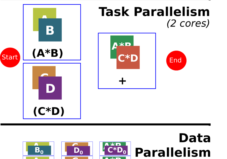
Programming is a sought after skill in GIS, but traditional programming (also called serial programming) only uses one processing core. Modern desktop computers, laptops, and even cellphones now have multiple processing cores, which can be used simultaneously to increase processing capabilities for a range of GIS applications. Parallel programming is a type of programming that involves using multiple processing cores simultaneously to solve a problem, which enables GIS applications to leverage more of the processing power on modern computing architectures ranging from desktop computers to supercomputers. Advanced parallel programming can leverage hundreds and thousands of cores on high-performance computing resources to process big spatial datasets or run complex spatial models.

Parallel programming is both a science and an art. While there are methods and principles that apply to parallel programming--when, how, and why certain methods are applied over others in a specific GIS application remains more of an art than a science. The following sections introduce the concept of parallel programming and discuss how to parallelize a spatial problem and measure parallel performance.

PD-19 - GIS APIs

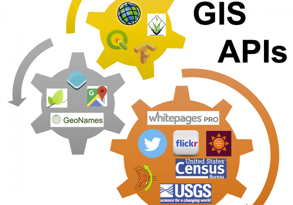
GIS APIs are collections of library modules that resemble various functionalities of GIS software through programming. GIS APIs evolved from desktop GIS. GIS APIs, as a distributed solution, are interoperable, scalable, light-weight, user-friendly, and versatile to a wide range of GIS users. This entry provides an overview of common GIS APIs, their functionalities as well as other related APIs. The general procedure to develop customized GIS applications is briefly discussed and demonstrated in a case study.

PD-13 - GPU Programming for GIS Applications

Graphics processing units (GPUs) are massively parallel computing environments with applications in graphics and general purpose programming. This entry describes GPU hardware, application domains, and both graphics and general purpose programming languages.