PD-20 - Real-time GIS Programming and Geocomputation

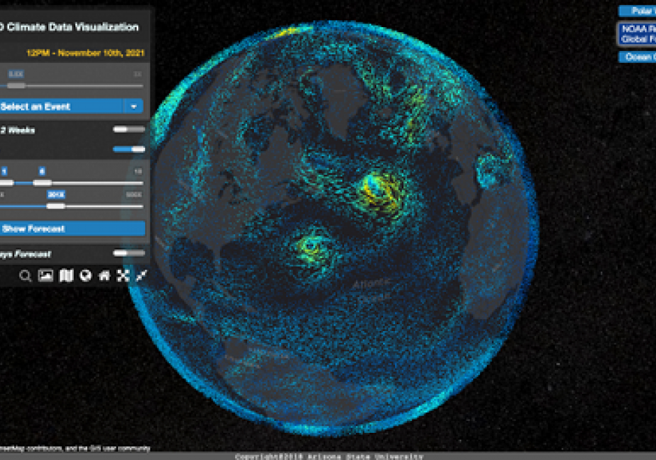
Streaming data generated continuously from sensor networks, mobile devices, social media platforms and other edge devices have posed significant challenges to existing computing platforms for achieving both high throughput and low latency data processing in addition to scalable computing. This entry introduces a real-time computing and programming platform for time-critical GIS (Geographic Information System) applications. In this platform, advanced streaming data processing software, such as Apache Kafka and Spark Streaming, are integrated to enable data analytics in real-time. This computing platform can also be extended to integrate GeoAI (Geospatial Artificial Intelligence) based machine learning models to leverage both historical and streaming data to achieve real-time prediction and intelligent geospatial analytics. Two real-time geospatial applications in terms of flood simulation and climate data visualization are introduced to demonstrate how real-time programming and computing can help tackle real-world problems with important societal impacts.

PD-15 - R for Geospatial Analysis and Mapping
R is a programming language as well as a computing environment to perform a wide variety of data analysis, statistics, and visualization. One of the reasons for the popularity of R is that it embraces open, transparent scholarship and reproducible research. It is possible to combine content and code in one document, so data, analysis, and graphs are tied together into one narrative, which can be shared with others to recreate analyses and reevaluate interpretations. Different from tools like ArcGIS or QGIS that are specifically built for spatial data, GIS functionality is just one of many things R offers. And while users of dedicated GIS tools typically interact with the software via a point-and-click graphical interface, R requires command-line scripting. Many R users today rely on RStudio, an integrated development environment (IDE) that facilitates the writing of R code and comes with a series of convenient features, like integrated help, data viewer, code completion, and syntax coloring. By using R Markdown, a particular flavor of the Markdown language, RStudio also makes it particularly easy to create documents that embed and execute R code snippets within a text and to render both, static documents (like PDF), as well as interactive html pages, a feature particularly useful for exploratory GIS work and mapping.