CP-01 - Software systems
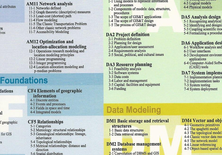
- Describe the major geospatial software architectures available currently, including desktop GIS, server-based, Internet, and component-based custom applications
- Describe non-spatial software that can be used in geospatial applications, such as databases, Web services, and programming environments
- Compare and contrast the primary sources of geospatial software, including major and minor commercial vendors and open-source options
- List the major functionality needed from off-the-shelf software based on a requirements report
- Identify software options that meet functionality needs for a given task or enterprise
- Evaluate software options that meet functionality needs for a given task or enterprise

CP-21 - Social Networks
This entry introduces the concept of a social network (SN), its components, and how to weight those components. It also describes some spatial properties of SNs, and how to embed SNs into GIS. SNs are graph structures that consists of nodes and edges that traditionally exist in Sociology and are newer to GIScience. Nodes typically represent individual entities such as people or institutions, and edges represent interpersonal relationships, connections or ties. Many different mathematical metrics exist to characterize nodes, edges and the larger network. When geolocated, SNs are part of a class of spatial networks, more specifically, geographic networks (i.e. road networks, hydrological networks), that require special treatment because edges are non-planar, that is, they do not follow infrastructure or form a vector on the earth’s surface. Future research in this area is likely to take advantage of 21st Century datasets sourced from social media, GPS, wireless signals, and online interactions that each evidence geolocated personal relationships.