CP-04 - Artificial Intelligence Tools and Platforms for GIS

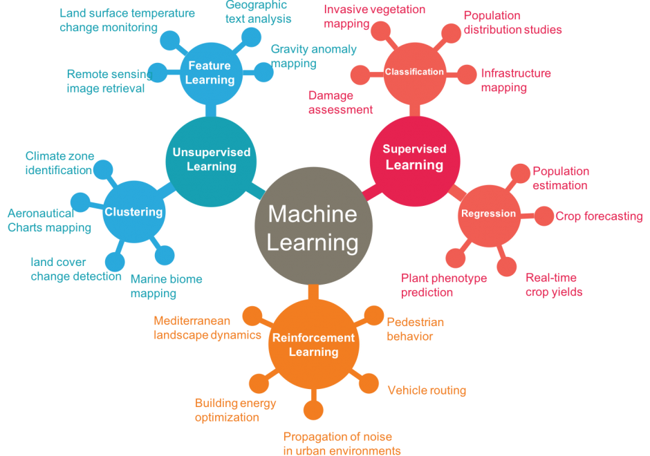
Artificial intelligence is the study of intelligence agents as demonstrated by machines. It is an interdisciplinary field involving computer science as well as, various kinds of engineering and science, for example, robotics, bio-medical engineering, that accentuates automation of human acts and intelligence through machines. AI represents state-of-the-art use of machines to bring about algorithmic computation and understanding of tasks that include learning, problem solving, mapping, perception, and reasoning. Given the data and a description of its properties and relations between objects of interest, AI methods can perform the aforementioned tasks. Widely applied AI capabilities, e.g. learning, are now achievable at large scale through machine learning (ML), large volumes of data and specialized computational machines. ML encompasses learning without any kind of supervision (unsupervised learning) and learning with full supervision (supervised learning). Widely applied supervised learning techniques include deep learning and other machine learning methods that require less data than deep learning e.g. support vector machines, random forests. Unsupervised learning examples include dictionary learning, independent component analysis, and autoencoders. For application tasks with less labeled data, both supervised and unsupervised techniques can be adapted in a semi-supervised manner to produce accurate models and to increase the size of the labeled training data.

CP-24 - ArcGIS Online
ArcGIS Online is a hosted geographic information system (GIS) created and hosted by Environmental Systems Research Institute (Esri). In a few short years, it has eclipsed desktop software as the most popular tool for mapping and spatial analysis. ArcGIS Online is more than a traditional GIS software in that it also includes access to a wide range of authoritative datasets. ArcGIS fits into the Web 2.0 model where users of the platform are able to create and share maps.