All Topics

Computing Platforms provide the computational capabilities to apply methods and models to geographic data. Computing Platforms vary in capability, price, and availability from mobile devices to advanced supercomputers and from standalone computers to complex networked infrastructures to address different user needs and data-processing workloads.

Topics in this Knowledge Area are listed thematically below. Existing topics are in regular font and linked directly to their original entries (published in 2006; these contain only Learning Objectives). Entries that have been updated and expanded are in bold. Forthcoming, future topics are italicized

Computing Infrastructures Software Systems 
Graphics Processing Units Spatial Database Management Systems (DBMS)
Spatial Cloud Computing Spatial MapReduce
Mobile Devices Artificial Intelligence Tools and Platforms for GIS
Cyberinfrastructure Geospatial Technology Transfer
eScience, the Evolution of Science Web GIS
Computing Approaches Enterprise GIS
Origins of Computing & GIS&T: a Computer Systems Perspective   
Origins of Computing & GIS&T: a Perspective on the Role of Peripheral Devices Examples and Applications 
High Throughput Computing and GIS Google Earth Engine
High Performance Computing and GIS ArcGIS Online
Science Gateways GIS&T and Computational Notebooks
  OSGeo Live
  Apache Spark
Social Media and Location-based Services  
Location-based Services  
GIS& the Internet of Things  
Social Media Analytics  
Social Networks  
GIS&T Web Services  


A C E G H L M O S W
CP-05 - Geospatial Technology Transfer Opportunities, and a Case Study of the Taghreed System

The technology transfer process moves research ideas from preliminary stages in research labs and universities to industrial products and startup companies. Such transfers significantly contribute to producing new computing platforms, services, and geospatial data products based on state-of-the-art research. To put technology transfer in perspective, this entry highlights key lessons learned through the process of transferring the Taghreed System from a research and development (R&D) lab to an industrial product. Taghreed is a system that supports scalable geospatial data analysis on social media microblogs data. Taghreed is primarily motivated by the large percentage of mobile microblogs users, over 80%, which has led to greater availability of geospatial content in microblogs beyond anytime in the digital data history. Taghreed has been commercialized and is powering a startup company that provides social media analytics based on full Twitter data archive.

CP-27 - GIS and Computational Notebooks
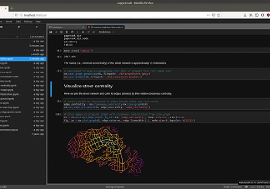
Researchers and practitioners across many disciplines have recently adopted computational notebooks to develop, document, and share their scientific workflows—and the GIS community is no exception. This chapter introduces computational notebooks in the geographical context. It begins by explaining the computational paradigm and philosophy that underlie notebooks. Next it unpacks their architecture to illustrate a notebook user’s typical workflow. Then it discusses the main benefits notebooks offer GIS researchers and practitioners, including better integration with modern software, more natural access to new forms of data, and better alignment with the principles and benefits of open science. In this context, it identifies notebooks as the “glue” that binds together a broader ecosystem of open source packages and transferable platforms for computational geography. The chapter concludes with a brief illustration of using notebooks for a set of basic GIS operations. Compared to traditional desktop GIS, notebooks can make spatial analysis more nimble, extensible, and reproducible and have thus evolved into an important component of the geospatial science toolkit.

CP-23 - Google Earth Engine

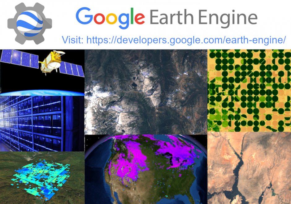
Google Earth Engine (GEE) is a cloud-based platform for planetary scale geospatial data analysis and communication.  By placing more than 17 petabytes of earth science data and the tools needed to access, filter, perform, and export analyses in the same easy to use application, users are able to explore and scale up analyses in both space and time without any of the hassles traditionally encountered with big data analysis.  Constant development and refinement have propelled GEE into one of the most advanced and accessible cloud-based geospatial analysis platforms available, and the near real time data ingestion and interface flexibility means users can go from observation to presentation in a single window.

CP-06 - Graphics Processing Units (GPUs)

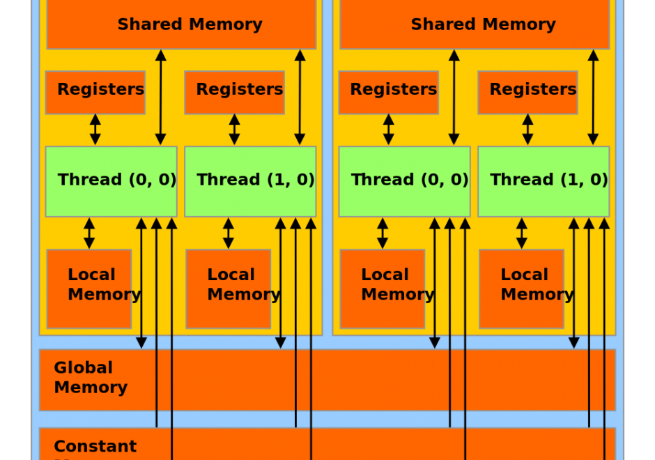
Graphics Processing Units (GPUs) represent a state-of-the-art acceleration technology for general-purpose computation. GPUs are based on many-core architecture that can deliver computing performance much higher than desktop computers based on Central Processing Units (CPUs). A typical GPU device may have hundreds or thousands of processing cores that work together for massively parallel computing. Basic hardware architecture and software standards that support the use of GPUs for general-purpose computation are illustrated by focusing on Nvidia GPUs and its software framework: CUDA. Many-core GPUs can be leveraged for the acceleration of spatial problem-solving.