DA-45 - GIS&T in Business
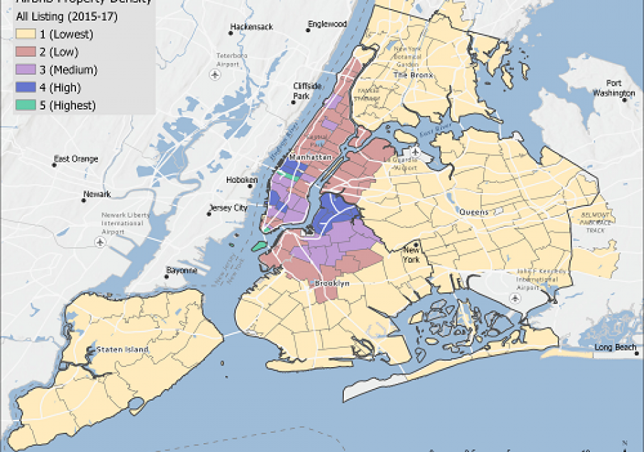
Geographic Information Systems and Technology are utilized extensively in the business sector and have become a strategic element for competition and partnering. Although the traditional digital map layers and tables remain at the core of business GIS, the spatial architecture in firms now includes location analytics, location intelligence, AI, machine learning, imagery, social media linkages. Cloud-based solutions provide platform flexibility, centralized data, and potential to roll out user-friendly webGIS across large segments of business users and customers. GIS is well suited to the digital transformations that are essential for firms, large and small. With these advances, GIS has become prominent and its function has moved upwards in companies’ organizational hierarchies, with enterprise GIS even being recognized in the C-suite. UPS is an example in which GIS is now a critical corporate competitive factor. In spite of these successes, a gap remains in the supply of skilled spatial workforce for companies. Business schools can contribute by changing by school leadership “getting it” about spatial, bringing GIS into the mainstream curricula, developing training for business faculty in teaching, conducting research in location analytics, and populating student body and alumni base with knowledge and enthusiasm for spatial thinking and management.




GS-27 - GIS&T for Equity and Social Justice
A geographic information system (GIS) can be used effectively for activities, programs, and analyses focused on equity and social justice (ESJ). Many types of inequities exist in society, but race and space are key predictors of inequity. A key concept of social justice is that any person born into society, no matter where they were born or live, will have an equitable opportunity to achieve successful life outcomes and to thrive. Geographic information science and its technologies (GIS&T) provide powerful tools to analyze equity and social justice issues and help government agencies apply an equity lens to every aspect of their administration. Given the reliance on spatial data to represent and analyze matters of ESJ, the use of these tools is necessary, logical, and appropriate. Some types of analyses and mapping commonly used with ESJ programs require careful attention to how data are combined and represented, risking misleading or false conclusions otherwise. Such outcomes could build mistrust when trust is most needed. A GIS-supported lifecycle for ESJ is presented that includes stages of exploratory issue analysis, community feedback, pro-equity programs analysis, management monitoring and stakeholder awareness, program performance metrics, and effectiveness analysis.