2018 QUARTER 01

A B C D E F G H I K L M N O P R S T U V W
DA-37 - GIS&T and Epidemiology

Location plays an important role in human health. Where we live, work, and spend our time is associated with different exposures, which may influence the risk of developing disease. GIS has been used to answer key research questions in epidemiology, which is the study of the distribution and determinants of disease. These research questions include describing and visualizing spatial patterns of disease and risk factors, exposure modeling of geographically varying environmental variables, and linking georeferenced information to conduct studies testing hypotheses regarding exposure-disease associations. GIS has been particularly instrumental in environmental epidemiology, which focuses on the physical, chemical, biological, social, and economic factors affecting health. Advances in personal exposure monitoring, exposome research, and artificial intelligence are revolutionizing the way GIS can be integrated with epidemiology to study how the environment may impact human health.

DA-16 - GIS&T and Forestry

GIS applications in forestry are as diverse as the subject itself. Many foresters match a common stereotype as loggers and firefighters, but many protect wildlife, manage urban forests, enhance water quality, provide for recreation, and plan for a sustainable future.  A broad range of management goals drives a broad range of spatial methods, from adjacency functions to zonal analysis, from basic field measurements to complex multi-scale modeling. As such, it is impossible to describe the breadth of GIS&T in forestry. This review will cover core ways that geospatial knowledge improves forest management and science, and will focus on supporting core competencies.  

DA-38 - GIS&T and Retail Business

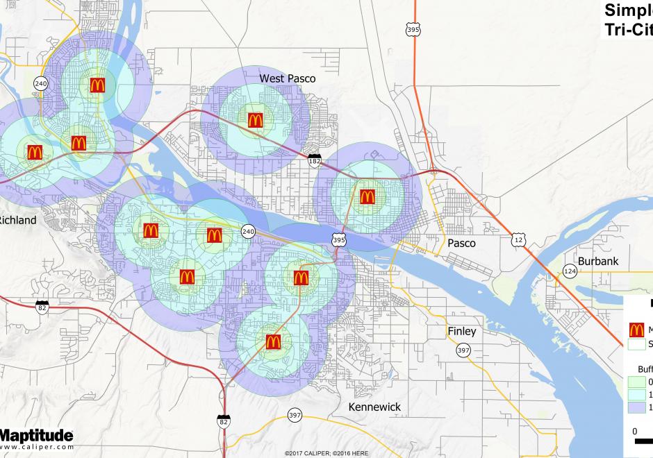
Where should a retail business occur or locate within a region?  What would that trade area look like?  Should a retail expansion occur and how would that affect sales of other nearby existing locations?  Would a new retail location have the right demographic or socio-economic customer base to be profitable?  These are important questions for retailers to consider.  Within the evolving landscape of GIS, there is more geospatial data than ever before about the potential customer.  In retail, the application of maps and mapping technology is growing to include commercial real estate, logistics, and marketing to name a few.  There has been an increased momentum across commercial applications for geospatial technologies delivered in an easy to comprehend format for a variety of end users.  

KE-24 - GIS&T positions and qualifications
  • Discuss the status of professional and academic certification in GIS&T
  • Identify the standard occupational codes that are relevant to GIS&T
  • Identify the qualifications needed for a particular GIS&T position
  • Discuss how a code of ethics might be applied within an organization
  • Explain why it has been difficult for many agencies and organizations to define positions and roles for GIS&T professionals
  • Describe the differences between licensing, certification, and accreditation in relation to GIS&T positions and qualifications
KE-25 - GIS&T training and education
  • Compare and contrast training methods utilized in a non-profit to those employed in a local government agency
  • Discuss the National Research Council report on Learning to Think Spatially (2005) as it relates to spatial thinking skills needed by the GIS&T workforce
  • Find or create training resources appropriate for GIS&T workforce in a local government organization
  • Identify the particular skills necessary for users to perform tasks in three different workforce domains (e.g., small city, medium county agency, a business, or others)
  • Illustrate methods that are effective in providing opportunities for education and training when implementing a GIS in a small city
  • Teach necessary skills for users to successfully perform tasks in an enterprise GIS
  • Discuss different formats (tutorials, in house, online, instructor lead) for training and how they can be used by organizations
KE-23 - GIS&T workforce development
  • Describe issues that may hinder implementation and continued successful operation of a GIS if effective methods of staff development are not included in the process
  • Outline methods (programs or processes) that provide effective staff development opportunities for GIS&T
AM-22 - Global measures of spatial association
  • Describe the effect of the assumption of stationarity on global measures of spatial association
  • Justify, compute, and test the significance of the join count statistic for a pattern of objects
  • Compute the K function
  • Explain how a statistic that is based on combining all the spatial data and returning a single summary value or two can be useful in understanding broad spatial trends
  • Compute measures of overall dispersion and clustering of point datasets using nearest neighbor distance statistics
  • Compute Moran’s I and Geary’s c for patterns of attribute data measured on interval/ratio scales
  • Explain how the K function provides a scale-dependent measure of dispersion
DC-03 - Global Positioning System
  • Explain how GPS receivers calculate coordinate data
  • Discuss the relationship of GPS to the Global Satellite Navigation System
  • Explain “selective availability,” why it was discontinued in 2000, and what alternatives are available to the U.S. Department of Defense
  • Explain the relationship of the U.S. Global Positioning System with comparable systems sponsored by Russia and the European Union and the Global Navigation Satellite System
  • Discuss the role of GPS in location-based services (LBS)
  • Specify the features of a GPS receiver that is able to achieve geometric accuracies on the order of centimeters without post-processing
  • Explain the relevance of the concept of trilateration to both GPS positioning and control surveying
  • Perform differential correction of GPS data using reference data from a CORS station
  • List, define, and rank the sources of error associated with GPS positioning
  • Distinguish between horizontal and vertical accuracies when using coarse acquisition codes/standard positioning service (C-codes) and precision acquisition codes/precise positioning service (P-codes)
CP-06 - Graphics Processing Units (GPUs)

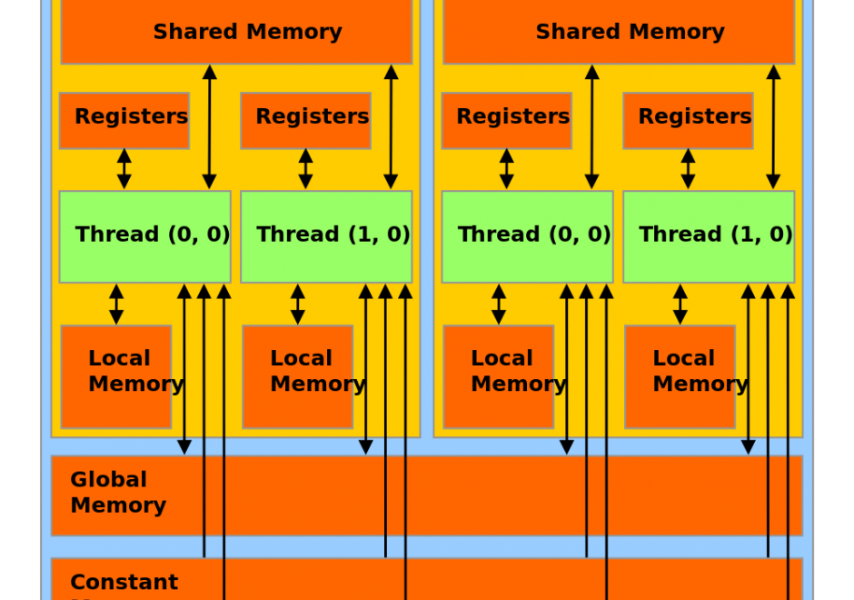
Graphics Processing Units (GPUs) represent a state-of-the-art acceleration technology for general-purpose computation. GPUs are based on many-core architecture that can deliver computing performance much higher than desktop computers based on Central Processing Units (CPUs). A typical GPU device may have hundreds or thousands of processing cores that work together for massively parallel computing. Basic hardware architecture and software standards that support the use of GPUs for general-purpose computation are illustrated by focusing on Nvidia GPUs and its software framework: CUDA. Many-core GPUs can be leveraged for the acceleration of spatial problem-solving.  

AM-73 - Greedy heuristics
  • Demonstrate how to implement a greedy heuristic process
  • Identify problems for which the greedy heuristic also produces the optimal solution (e.g., Kruskal’s algorithm for minimum spanning tree, the fractional Knapsack problem)

Pages