map overlay

FC-22 - Geometric Primitives and Algorithms

Geometric primitives are the representations used and computations performed in a GIS that concern the spatial aspects of the data, data objects described by coordinates. In vector geometry, we distinguish in zero-, one-, two-, and three-dimensional objects, better known as points, linear features, areal or planar features, and volumetric features. A GIS stores and performs computations on all of these. Often, planar features form a collective known as a (spatial) subdivision. Computations on geometric objects show up in data simplification, neighborhood analysis, spatial clustering, spatial interpolation, automated text placement, segmentation of trajectories, map matching, and many other tasks. They should be contrasted with computations on attributes or networks.

There are various kinds of vector data models for subdivisions. The classical ones are known as spaghetti and pizza models, but nowadays it is recognized that topological data models are the representation of choice. We overview these models briefly.

Computations range from simple to highly complex: deciding whether a point lies in a rectangle needs four comparisons, whereas performing map overlay on two subdivisions requires advanced knowledge of algorithm design. We introduce map overlay, Voronoi diagrams, and Delaunay triangulations and mention algorithmic approaches to compute them.

AM-12 - Cartographic Modeling
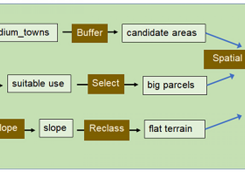
Cartographic modeling is an integrated sequence of data processing tasks that organize, combine, analyze and display information to answer a question. Cartographic modeling is effective in GIS environments because they rely heavily upon visualization, making it easy to show input and output layers in map form. In many GIS platforms, the sequence of tasks can be created and modified graphically as well. The modeling is visual, intuitive, and requires some knowledge of GIS commands and data preparation, along with curiosity to answer a particular question about the environment. It does not require programming skill. Cartographic modeling has been used in applications to delineate habitats, to solve network routing problems, to assess risk of storm runoff across digital terrain, and to conserve fragile landscapes. Historical roots emphasize manual and later automated map overlay. Cartographic models can take three forms (descriptive, prescriptive and normative). Stages in cartographic modeling identify criteria that meet an overarching goal; collect data describing each criterion in map form; design a flowchart showing data, GIS operations and parameters; implement the model; and evaluate the solution. A scenario to find a suitable site for biogas energy production walks through each stage in a simple demonstration of mechanics.

FC-22 - Geometric Primitives and Algorithms

Geometric primitives are the representations used and computations performed in a GIS that concern the spatial aspects of the data, data objects described by coordinates. In vector geometry, we distinguish in zero-, one-, two-, and three-dimensional objects, better known as points, linear features, areal or planar features, and volumetric features. A GIS stores and performs computations on all of these. Often, planar features form a collective known as a (spatial) subdivision. Computations on geometric objects show up in data simplification, neighborhood analysis, spatial clustering, spatial interpolation, automated text placement, segmentation of trajectories, map matching, and many other tasks. They should be contrasted with computations on attributes or networks.

There are various kinds of vector data models for subdivisions. The classical ones are known as spaghetti and pizza models, but nowadays it is recognized that topological data models are the representation of choice. We overview these models briefly.

Computations range from simple to highly complex: deciding whether a point lies in a rectangle needs four comparisons, whereas performing map overlay on two subdivisions requires advanced knowledge of algorithm design. We introduce map overlay, Voronoi diagrams, and Delaunay triangulations and mention algorithmic approaches to compute them.

Pages