Domain Applications

The Domain Applications knowledge area focuses on the linkages between the foundational GIS&T competencies found in other components of the Body of Knowledge and their implementation across a wide range of application areas, highlighting their scope and depth and providing evaluation of their impacts. This Knowledge Area is new and therefore was not part of the first GIS&T Body of Knowledge, published in 2006. 

Entries that have been completed are in bold. Forthcoming, future topics are italicized

If you’d like to propose an entry on a topic missing from the list, please contact the GIS&T BoK Project Manager, Diana Sinton (dsinton@ucgis.org). 

Agriculture Forestry Real Estate
Archaeology Geodesign Recreation Planning & Management
Architecture Humanitarian Mapping Retail Business
Civil Engineering Hydrology and Hydraulics Telecommunications
Climate Studies & Atmospheric Science   Urban & Regional Planning
Commercial Business Insurance Utilities
Computational Geography International Affairs Water Resources
Conservation Land Administration Wildlife & Fisheries Science and Management
Criminal Justice / Law Enforcement Landscape Architecture  
Digital Humanities Landscape Ecology  
Disaster Management Libraries, Archives, and Museums  
Earth Science Research Local Government  
Economic Development    
Ecosystem Science & Management Geospatial Intelligence & National Security  
Education & Training Marine Science  
Energy Development Marketing  
Environmental Science & Management Natural Resource Management  
Epidemiology Public Health  
Facilities Management Public Policy  


DA-39 - GIS&T and Recreation Planning and Management

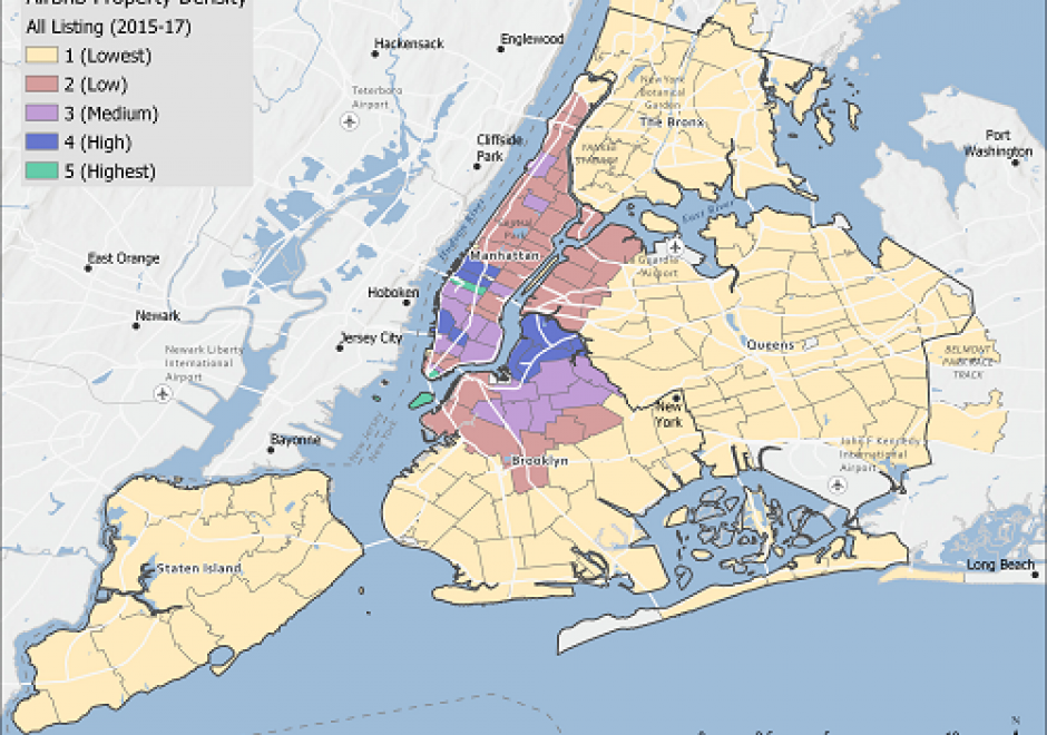
Human interactions with each other and the environment are intrinsically connected to the opportunities and limitations of where we live and where we are able to go. The connections between places of origin, destinations, and travel routes mean that recreation and tourism inherently rely on spatial concepts of place and human-environment interactions. Tourism and recreation are major economic drivers, yet these sectors are constantly evolving as people embrace different ways to travel and recreate and environmental and socio-economic conditions change. Advances in GIS technology and computing ability are shaping the questions asked and tools used by researchers to understand the drivers and impacts of recreation. In this entry, we highlight current research and approaches used to characterize access to green spaces in urban areas, to understand recreational behaviors and tourist preferences through social media, to map landscape aesthetics and cultural ecosystem services, and to quantify the impacts of tourism and recreation on protected areas. Starting with urban areas and local extents and moving to protected areas and regional processes, we summarize scholarship focused on different types of places and occurring across different extents and scales to provide a digest of current research.

DA-38 - GIS&T and Retail Business
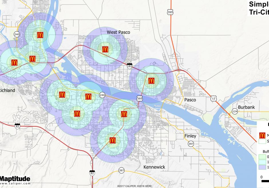
Where should a retail business occur or locate within a region?  What would that trade area look like?  Should a retail expansion occur and how would that affect sales of other nearby existing locations?  Would a new retail location have the right demographic or socio-economic customer base to be profitable?  These are important questions for retailers to consider.  Within the evolving landscape of GIS, there is more geospatial data than ever before about the potential customer.  In retail, the application of maps and mapping technology is growing to include commercial real estate, logistics, and marketing to name a few.  There has been an increased momentum across commercial applications for geospatial technologies delivered in an easy to comprehend format for a variety of end users.  

DA-11 - GIS&T and the Digital Humanities

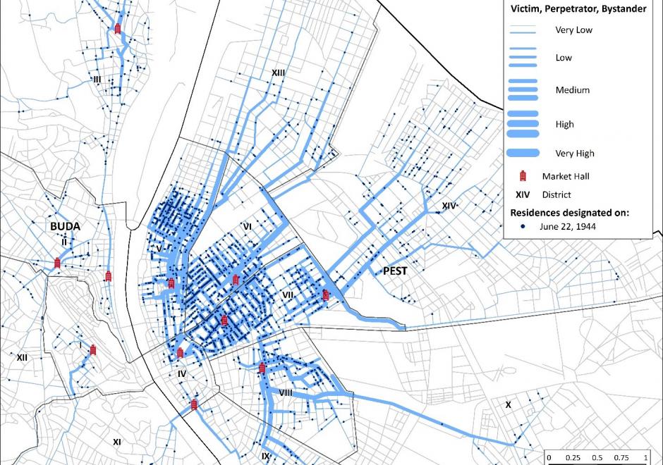
This entry reviews the use of GIS&T in the digital humanities and in the spatial humanities, highlighting opportunities for interdisciplinary collaborations between GIScientists and humanities scholars, including in history, archeology, and literary studies. Challenges are highlighted as well, including epistemological and ontological differences between the spatial, abstract, and quantitative view of the world of GIS&T and GIScience and the humanities emphasis on place and qualitative methods. The potential of mixed methods to bring together different epistemological perspectives is discussed in this context. Scale is identified as a promising geographical framework for humanities research, both in its metaphorical aspects and as intended in cartography. Examples of the use of GIS&T and GIScience in the humanities are provided, including historical GIS, geohistorical gazetteers, archeology and GIS, and GIS in literary studies. The entry is framed historically, with reference to the work of Bakhtin, Braudel, and Hägerstrand, who are early influencers of the spatial turn in the humanities. Among the research directions briefly explored are the GIS of place, deep maps, and qualitative GIS, which exemplify how the collaboration between GIScience and the humanities can be strengthened.

DA-45 - GIS&T in Business

Geographic Information Systems and Technology are utilized extensively in the business sector and have become a strategic element for competition and partnering.  Although the traditional digital map layers and tables remain at the core of business GIS, the spatial architecture in firms now includes location analytics, location intelligence, AI, machine learning, imagery, social media linkages.  Cloud-based solutions provide platform flexibility, centralized data, and potential to roll out user-friendly webGIS across large segments of business users and customers. GIS is well suited to the digital transformations that are essential for firms, large and small.  With these advances, GIS has become prominent and its function has moved upwards in companies’ organizational hierarchies, with enterprise GIS even being recognized in the C-suite.  UPS is an example in which GIS is now a critical corporate competitive factor. In spite of these successes, a gap remains in the supply of skilled spatial workforce for companies. Business schools can contribute by changing by school leadership “getting it” about spatial, bringing GIS into the mainstream curricula, developing training for business faculty in teaching, conducting research in location analytics, and populating student body and alumni base with knowledge and enthusiasm for spatial thinking and management.

DA-13 - GIS&T in Criminal Justice and Law Enforcement

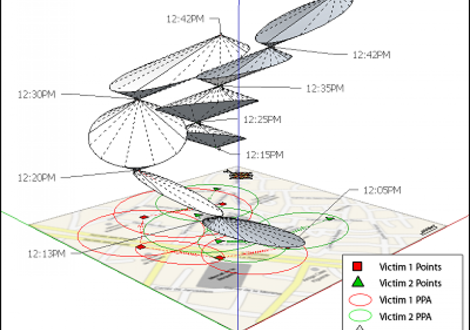
Linking crime and place has been the objective of crime mapping since the early nineteenth century. Contemporary scholars have since investigated spatio-temporal crime patterns to explain why crime concentrates in certain places during certain times. Collectively, this body of research has identified various environmental and situational factors that contribute to the formation of crime hot spots and spawned widespread crime prevention and reduction strategies commonly referred to as place-based policing.  Environmental criminology guides the bulk of this crime-and-place research and provides a means for interpreting place and crime. The chapter details theories behind place-based policing, examples of place-based policing strategies that leverage geographic information science and its associated technologies (GIS&T), and relevant data visualization tools used by law enforcement to implement place-based strategies to address crime.

DA-47 - GIS&T in International Affairs

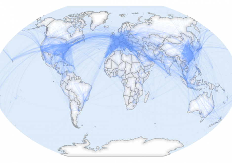
GIS applications within the International Affairs domain are vast, and they include: the analysis and representation of flows and stops of people, resources, and capital across borders, humanitarian assistance, war, conflict, and surveillance, and analysis of border-crossing spatial phenomena such as natural disasters and climate change.

Due to the wide range of potential thematic data, GIS for International Affairs should be a balance of hands-on practical application skills and critical thinking about spatial concepts of scale, boundaries, borders, and flows. GIS scholars and practitioners in this domain should learn to think critically about how and where spatial data is created, the people and cultures impacted by spatial data-driven decisions, and the equity of who is involved in such decisions. Students should learn how spatial data is created, how major datasets in the field are built, and how to design datasets during fieldwork for robust spatial analysis. Through all of this, critical thinking around which people and places are counted and represented should be maintained.

GIS in International Affairs must always contend with the colonial history of cartography, seeking now to understand how modern-day spatial technologies are always constituted by and embedded in constructions of power.

DA-33 - GIS&T in Urban and Regional Planning

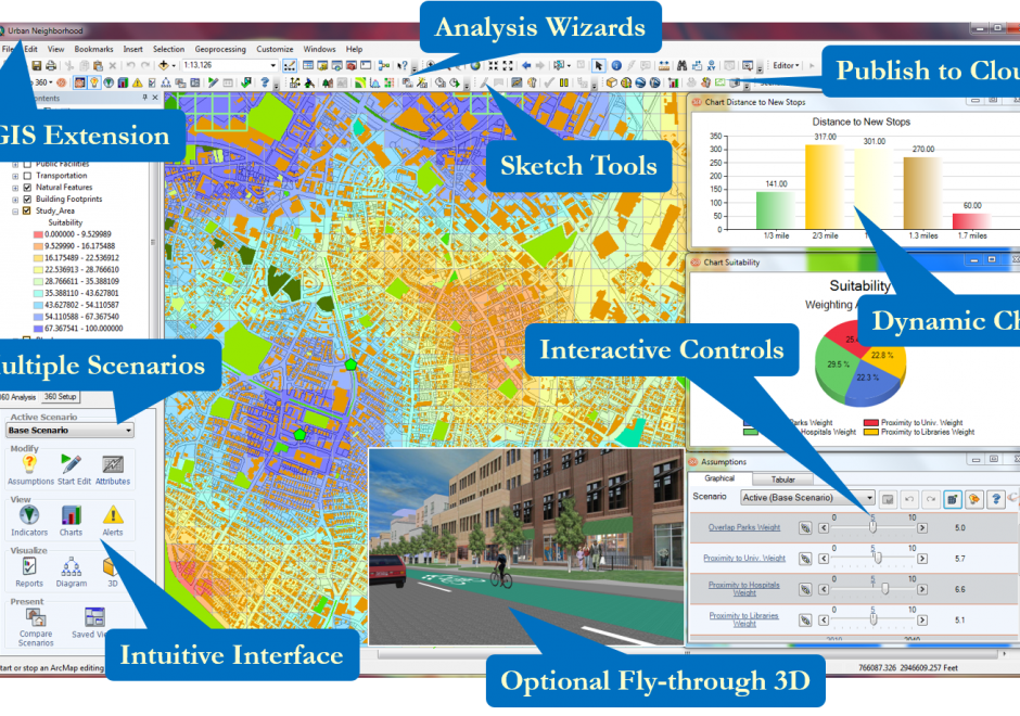
Professionals within the urban and regional planning domain have long utilized GIS&T to better understand cities through mapping urban data, representing new proposals, and conducting modeling and analysis to help address urban problems. These activities include spatial data collection and management, cartography, and a variety of applied spatial analysis techniques. Urban and regional planning has developed the sub-fields of planning support systems and Geodesign, both of which describe a combination of technologies and methods to incorporate GIS&T into collaborative planning contexts. In the coming years, shifting patterns of global urbanization, smart cities, and urban big data present emerging opportunities and challenges for urban planning professionals.

Pages