CV-30 - Map Production and Management

Map production describes the experience of managing the many aspects and details of map creation. Often the map product is created for someone else—a client, supervisor, or instructor. Describing the intention of the map and evaluating available resources ahead of the project can help the cartographer define content requirements, stay on task, and ultimately meet deadlines. The project management life cycle involves clear communication between the cartographer and client, with resolutions to common questions best addressed at the beginning of the project. The process then iteratively cycles through phases that include research and production, followed by quality control, and concludes with file preparation and delivery.


DA-09 - GIS&T and Geodesign
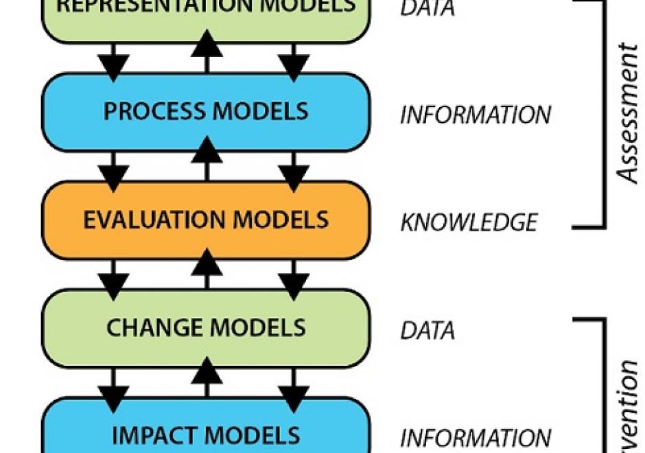
Geodesign leverages GIS&T to allow collaborations that result in geographically specific, adaptive and resilient solutions to complex problems across scales of the built and natural environment. Geodesign is rooted in decades of research and practice. Building on that history, is a contemporary approach that embraces the latest in GIS&T, visualization, and social science, all of which is organized around a unique framework process involving six models. More than just technology or GIS, Geodesign is a way of thinking when faced with complicated spatial issues that need systematic, creative, and integrative solutions. Geodesign holds great promise for addressing the complexity of interrelated issues associated with growth and landscape change. Geodesign empowers through design combined with data and analytics to shape our environments and create desired futures.