PD-11 - Python for GIS

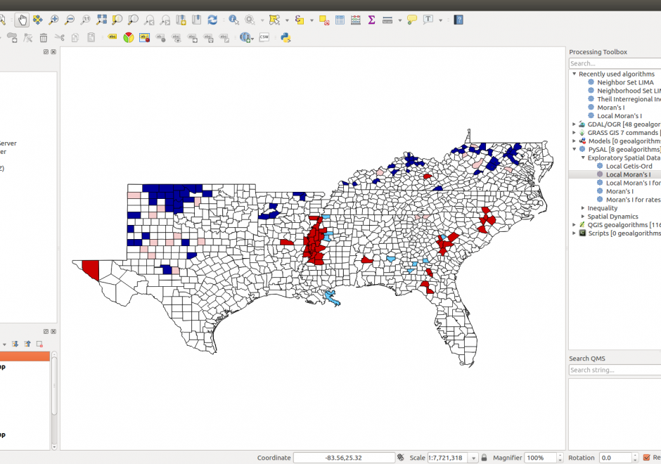
Figure 1. PySAL within QGIS Processing Toolbox: Hot-spot analysis of Homicide Rates in Southern US Counties.
Python is a popular language for geospatial programming and application development. This entry provides an overview of the different development modes that can be adopted for GIS programming with Python and discusses the history of Python adoption in the GIS community. The different layers of the geospatial development stack in Python are examined giving the reader an understanding of the breadth that Python offers to the GIS developer. Future developments and broader issues related to interoperability and programming ecosystems are identified.


PD-29 - Programming of Mobile GIS Applications
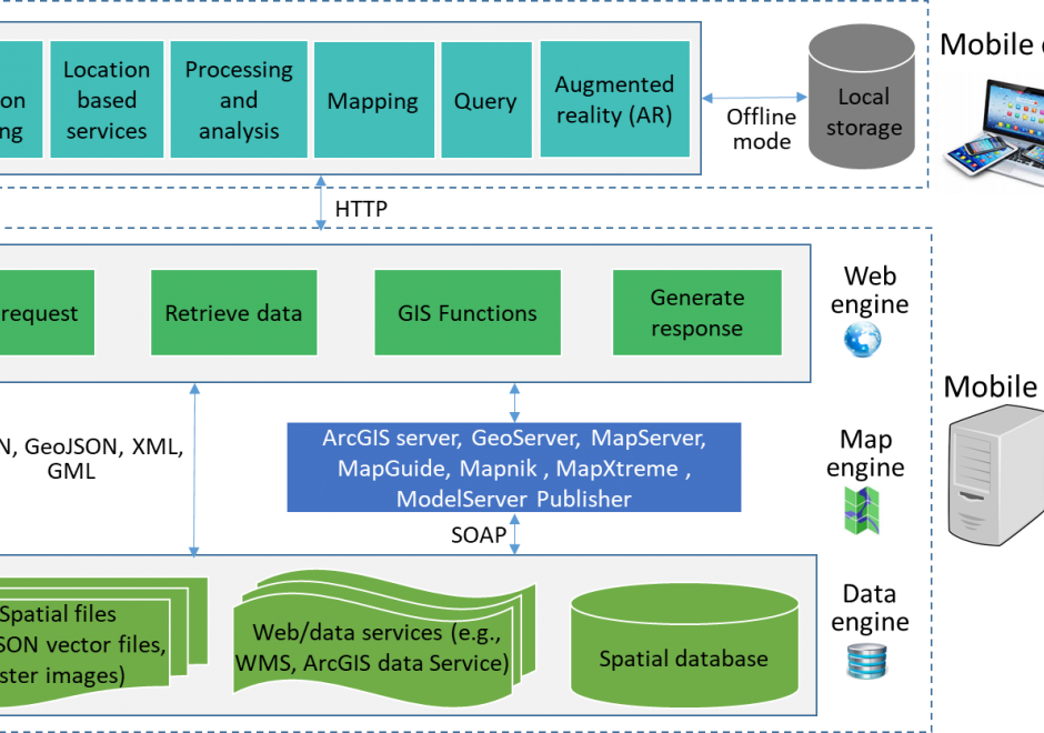
Mobile technology has significantly changed how we communicate and interact with the outside world. With the increasing use of mobile devices and advancement of information communication information (ICT) technologies, mobile GIS emerged to provide real-time data collection and update, and made GIS easier and convenient to access. This entry introduces the concept, types, and general architecture of mobile GIS, key technologies used for mobile GIS development, and examples of mobile GIS applications.