CV-36 - Geovisual Analytics

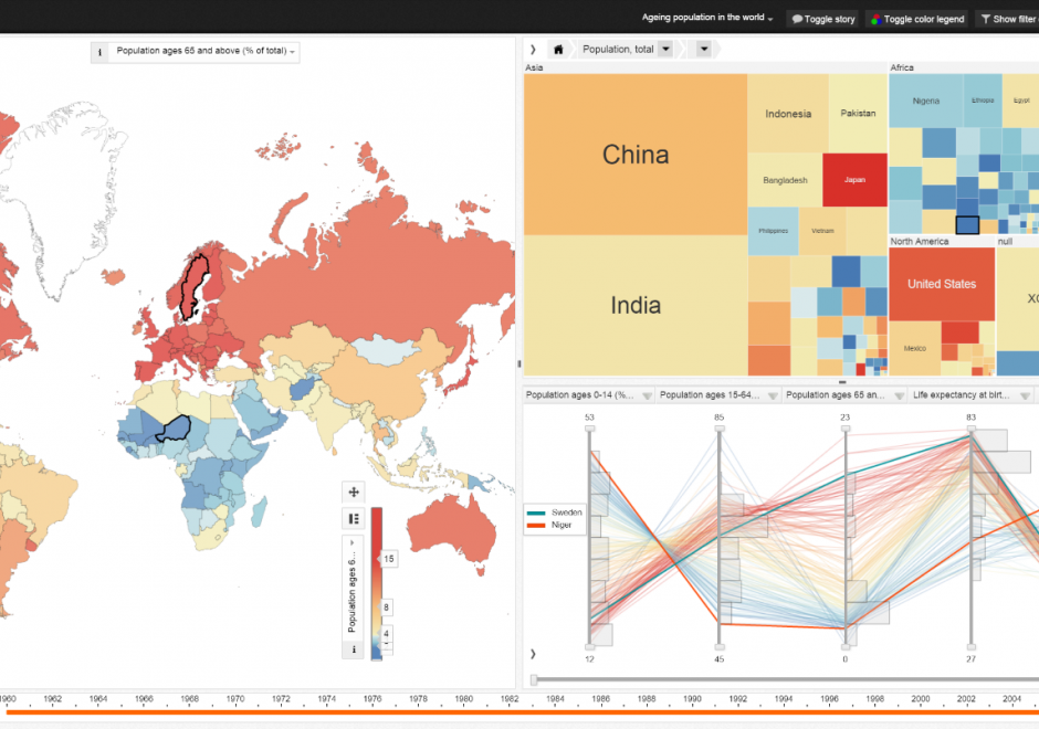
Geovisual analytics refers to the science of analytical reasoning with spatial information as facilitated by interactive visual interfaces. It is distinguished by its focus on novel approaches to analysis rather than novel approaches to visualization or computational methods alone. As a result, geovisual analytics is usually grounded in real-world problem solving contexts. Research in geovisual analytics may focus on the development of new computational approaches to identify or predict patterns, new visual interfaces to geographic data, or new insights into the cognitive and perceptual processes that users apply to solve complex analytical problems. Systems for geovisual analytics typically feature a high-degree of user-driven interactivity and multiple visual representation types for spatial data. Geovisual analytics tools have been developed for a variety of problem scenarios, such as crisis management and disease epidemiology. Looking ahead, the emergence of new spatial data sources and display formats is expected to spur an expanding set of research and application needs for the foreseeable future.


AM-68 - Rule Learning for Spatial Data Mining
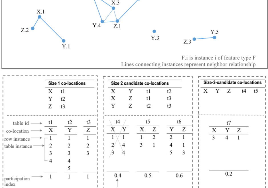
Recent research has identified rule learning as a promising technique for geographic pattern mining and knowledge discovery to make sense of the big spatial data avalanche (Koperski & Han, 1995; Shekhar et al., 2003). Rules conveying associative implications regarding locations, as well as semantic and spatial characteristics of analyzed spatial features, are especially of interest. This overview considers fundamentals and recent advancements in two approaches applied on spatial data: spatial association rule learning and co-location rule learning.