GS-15 - Feminist Critiques of GIS
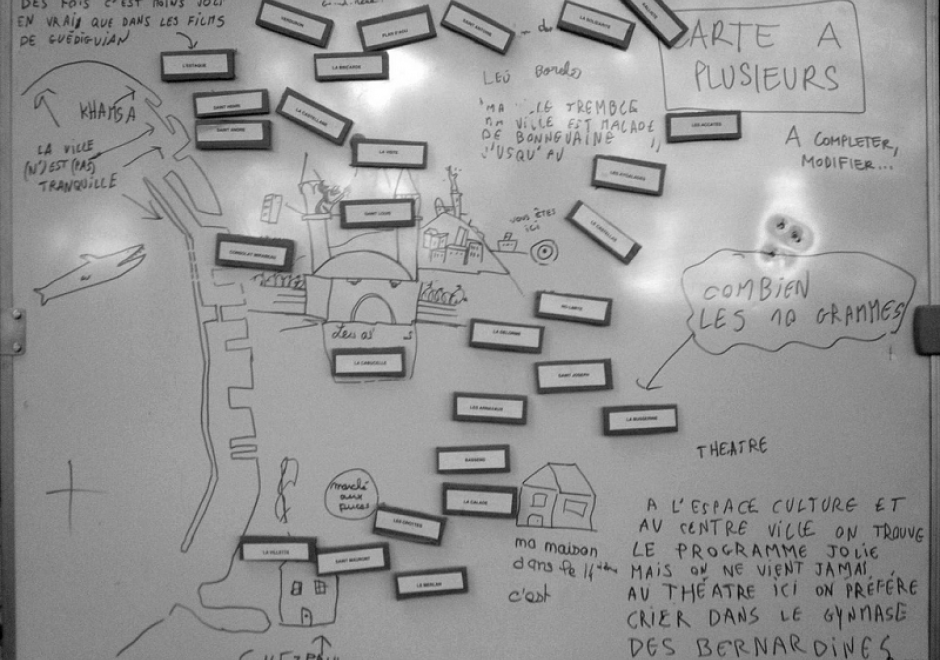
Feminist interactions with GIS started in the 1990s in the form of strong critiques against GIS inspired by feminist and postpositivist theories. Those critiques mainly highlighted a supposed epistemological dissonance between GIS and feminist scholarship. GIS was accused of being shaped by positivist and masculinist epistemologies, especially due to its emphasis on vision as the principal way of knowing. In addition, feminist critiques claimed that GIS was largely incompatible with positionality and reflexivity, two core concepts of feminist theory. Feminist critiques of GIS also discussed power issues embedded in GIS practices, including the predominance of men in the early days of the GIS industry and the development of GIS practices for the military and surveillance purposes.
At the beginning of the 21st century, feminist geographers reexamined those critiques and argued against an inherent epistemological incompatibility between GIS methods and feminist scholarship. They advocated for a reappropriation of GIS by feminist scholars in the form of critical feminist GIS practices. The critical GIS perspective promotes an unorthodox, reconstructed, and emancipatory set of GIS practices by critiquing dominant approaches of knowledge production, implementing GIS in critically informed progressive social research, and developing postpositivist techniques of GIS. Inspired by those debates, feminist scholars did reclaim GIS and effectively developed feminist GIS practices.

PD-20 - Real-time GIS Programming and Geocomputation
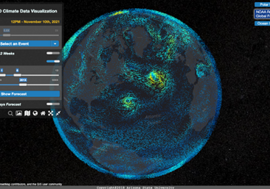
Streaming data generated continuously from sensor networks, mobile devices, social media platforms and other edge devices have posed significant challenges to existing computing platforms for achieving both high throughput and low latency data processing in addition to scalable computing. This entry introduces a real-time computing and programming platform for time-critical GIS (Geographic Information System) applications. In this platform, advanced streaming data processing software, such as Apache Kafka and Spark Streaming, are integrated to enable data analytics in real-time. This computing platform can also be extended to integrate GeoAI (Geospatial Artificial Intelligence) based machine learning models to leverage both historical and streaming data to achieve real-time prediction and intelligent geospatial analytics. Two real-time geospatial applications in terms of flood simulation and climate data visualization are introduced to demonstrate how real-time programming and computing can help tackle real-world problems with important societal impacts.