AM-64 - Calculating surface derivatives

- List the likely sources of error in slope and aspect maps derived from digital elevation models (DEMs) and state the circumstances under which these can be very severe
- Outline how higher order derivatives of height can be interpreted
- Explain how slope and aspect can be represented as the vector field given by the first derivative of height
- Explain why the properties of spatial continuity are characteristic of spatial surfaces
- Explain why zero slopes are indicative of surface specific points such as peaks, pits, and passes, and list the conditions necessary for each
- Design an algorithm that calculates slope and aspect from a triangulated irregular network (TIN) model
- Outline a number of different methods for calculating slope from a DEM


AM-66 - Watersheds and Drainage Networks
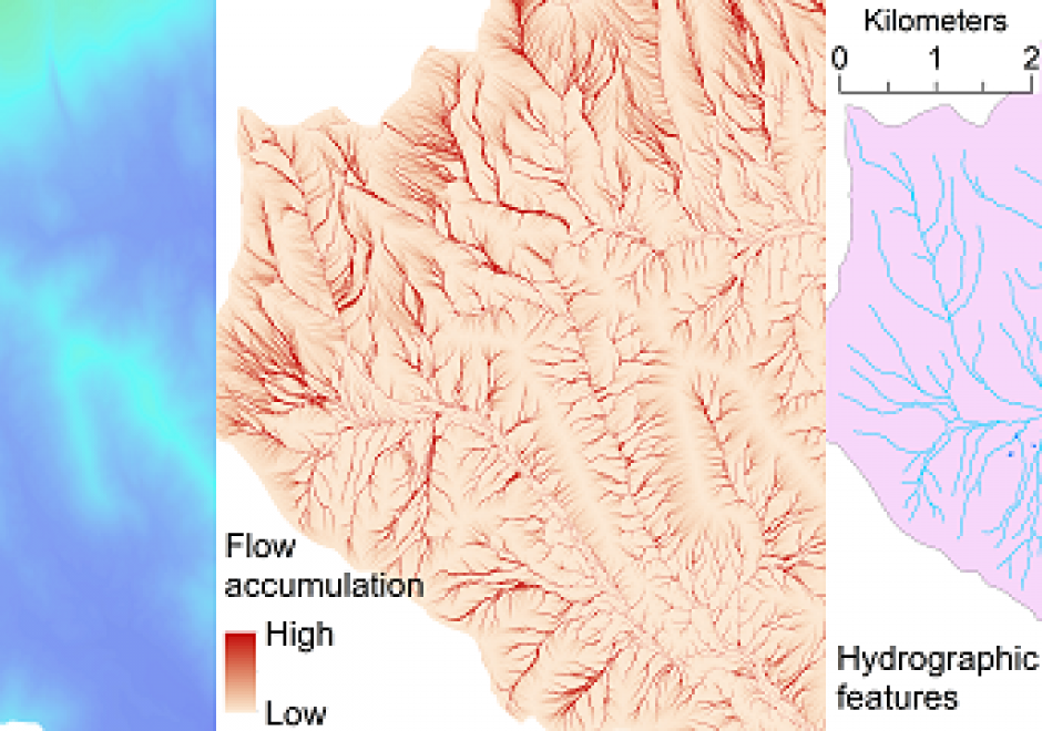
This topic is an overview of basic concepts about how the distribution of water on the Earth, with specific regard to watersheds, stream and river networks, and waterbodies are represented by geographic data. The flowing and non-flowing bodies of water on the earth’s surface vary in extent largely due to seasonal and annual changes in climate and precipitation. Consequently, modeling the detailed representation of surface water using geographic information is important. The area of land that collects surface runoff and other flowing water and drains to a common outlet location defines a watershed. Terrain and surface features can be naturally divided into watersheds of various sizes. Drainage networks are important data structures for modeling the distribution and movement of surface water over the terrain. Numerous tools and methods exist to extract drainage networks and watersheds from digital elevation models (DEMs). The cartographic representations of surface water are referred to as hydrographic features and consist of a snapshot at a specific time. Hydrographic features can be assigned general feature types, such as lake, pond, river, and ocean. Hydrographic features can be stored, maintained, and distributed for use through vector geospatial databases, such as the National Hydrography Dataset (NHD) for the United States.