All Topics

A B C D E F G H I J K L M N O P R S T U V W
AM-94 - Machine Learning Approaches

Machine learning approaches are increasingly used across numerous applications in order to learn from data and generate new knowledge discoveries, advance scientific studies and support automated decision making. In this knowledge entry, the fundamentals of Machine Learning (ML) are introduced, focusing on how feature spaces, models and algorithms are being developed and applied in geospatial studies. An example of a ML workflow for supervised/unsupervised learning is also introduced. The main challenges in ML approaches and our vision for future work are discussed at the end.

KE-19 - Managing GIS&T Operations and Infrastructure
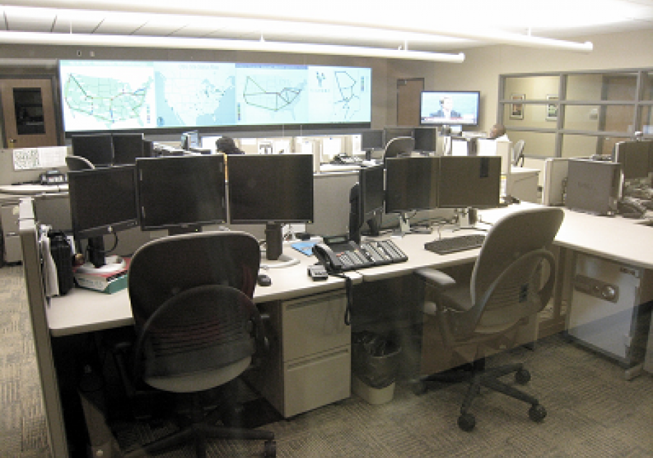
This article discusses the key role of effective management practices to derive expected benefits from the infrastructure and operations of enterprise GIS, including needs assessment, data evaluation and management, and stakeholder involvement. It outlines management factors related to an emerging application of enterprise GIS.  How to configure GIS infrastructure and operations to support enterprise business needs is the focus. When appropriate, additional information is provided for programs, projects, and activities specifically relevant for equity and social justice.

CV-34 - Map Icon Design

The use of map icons is an efficient way to condense a map object into a concise expression of geospatial data. Like all cartographic design, map icon design merges artistic and scientific elements into symbolic representations intended to be readily legible to map readers. This entry reviews the types of map icons and elements of icon design, including the ways in which the visual variables are used in map icon communication. As communicative devices, icons are imbued with cultural meanings and can oftentimes lead to the preservation of stereotypes. This review concludes with an examination of icons’ perpetuation of – and challenge to – cultural stereotypes.

CV-30 - Map Production and Management

Map production describes the experience of managing the many aspects and details of map creation. Often the map product is created for someone else—a client, supervisor, or instructor. Describing the intention of the map and evaluating available resources ahead of the project can help the cartographer define content requirements, stay on task, and ultimately meet deadlines. The project management life cycle involves clear communication between the cartographer and client, with resolutions to common questions best addressed at the beginning of the project. The process then iteratively cycles through phases that include research and production, followed by quality control, and concludes with file preparation and delivery.

CV-06 - Map Projections

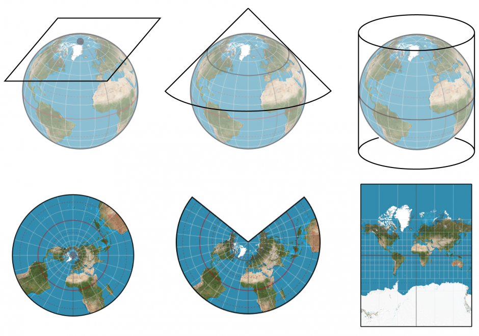
Map projection is the process of transforming angular (spherical / elliptical) coordinates into planar coordinates. All map projections introduce distortion (e.g., to areas, angles, distances) in the resulting planar coordinates. Understanding what, where, and how much distortion is introduced is an important consideration for spatial computations and visual interpretation of spatial patterns, as well as for general aesthetics of any map.

CV-21 - Map Reading

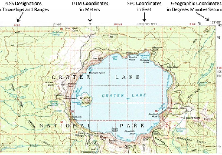
Map reading is the process of looking at the map to determine what is depicted and how the cartographer depicted it. This involves identifying the features or phenomena portrayed, the symbols and labels used, and information about the map that may not be displayed on the map. Reading maps accurately and effectively requires at least a basic understanding of how the mapmaker has made important cartographic decisions relating to map scale, map projections, coordinate systems, and cartographic compilation (selection, classification, generalization, and symbolization). Proficient map readers also appreciate artifacts of the cartographic compilation process that improve readability but may also affect map accuracy and uncertainty. Masters of map reading use maps to gain better understanding of their environment, develop better mental maps, and ultimately make better decisions. Through successful map reading, a person’s cartographic and mental maps will merge to tune the reader’s spatial thinking to the reality of the environment.

GS-26 - Mapping Spatial Justice for Marginal Societies

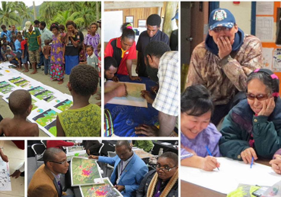
Marginal populations are those populations that are often overlooked by government, dependent upon non-governmental aid, and lack access to basic resources such as water, food, shelter, and security.  However, these groups are increasingly included in partnerships to map their resources (or lack thereof), develop basic applications in geospatial data collection, and devise innovative approaches to participatory mapping using geospatial technologies to address local and regional problems. Rapid technological changes and increased access to mobile geospatial tools enhance data creation efforts to map marginal populations and identify their needs. However, such mapping activities reveal fundamental inequities in collecting, disseminating, and visualizing spatial data.  This chapter defines marginal populations and provides an overview of data needs, geospatial tools, and ethical obligations necessary for these partnerships.

DM-91 - Marine Spatial Data Infrastructure

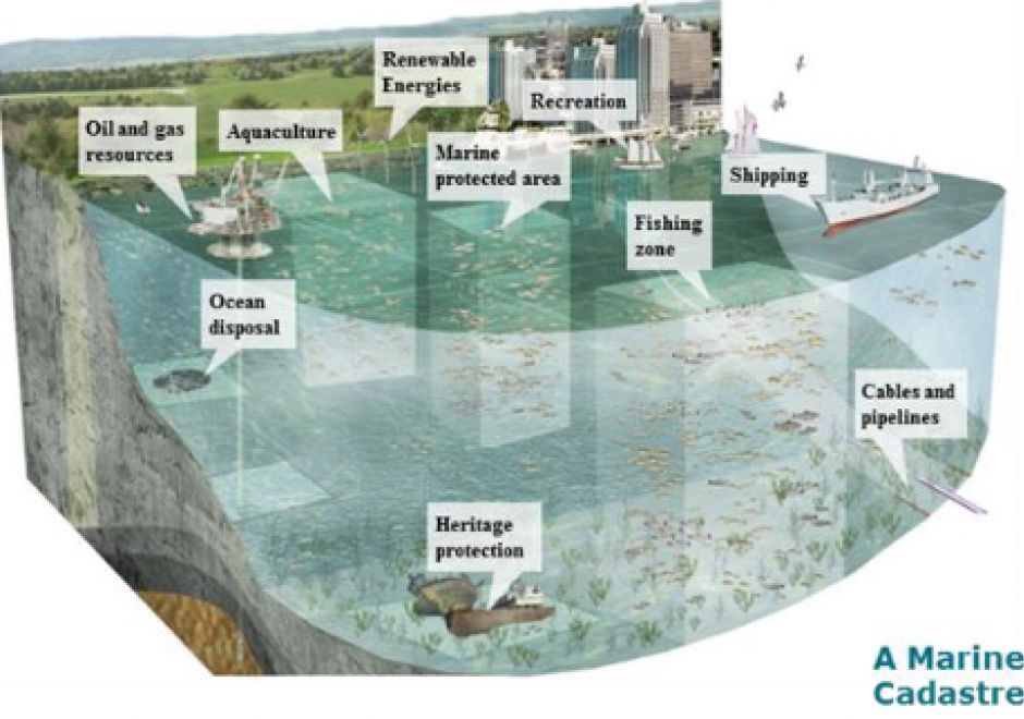
Marine Spatial Data Infrastructure (MSDI), the extension of terrestrial Spatial Data Infrastructure to the marine environment, is a type of cyberinfrastructure that facilitates the discovery, access, management, distribution, reuse, and preservation of hydrospatial data. MSDIs provide timely access to data from public and private organizations of marine related disciplines such as hydrography, oceanography, meteorology and maritime economic sectors, to be used for applications such as the safety of navigation, aquatic and marine activities, economic development, security and defence, scientific research, and marine ecosystems sustainability. This chapter discusses the main pillars of a MSDI, its importance for facilitating public processes such as Marine Spatial Planning and Coastal Zone Management, the wide range of stakeholders, implementation challenges, and future developments, such as the FAIR design principles, new data sources and services.

CP-15 - Mobile Devices

Mobile devices refer to a computing system intended to be used by hand, such as smartphones or tablet computers. Mobile devices more broadly refer to mobile sensors and other hardware that has been made for relatively easy transportability, including wearable fitness trackers. Mobile devices are particularly relevant to Geographic Information Systems and Technology (GIS&T) in that they house multiple locational sensors that were until recently very expensive and only accessible to highly trained professionals. Now, mobile devices serve an important role in computing platform infrastructure and are key tools for collecting information and disseminating information to, from, and among heterogeneous and spatially dispersed audiences and devices. Due to the miniaturization and the decrease in the cost of computing capabilities, there has been widespread social uptake of mobile devices, making them ubiquitous. Mobile devices are embedded in Geographic Information Science (GIScience) meaning GIScience is increasingly permeating lived experiences and influencing social norms through the use of mobile devices. In this entry, locational sensors are described, with computational considerations specifically for mobile computing. Mobile app development is described in terms of key considerations for native versus cross-platform development. Finally, mobile devices are contextualized within computational infrastructure, addressing backend and frontend considerations.

CV-40 - Mobile Maps and Responsive Design

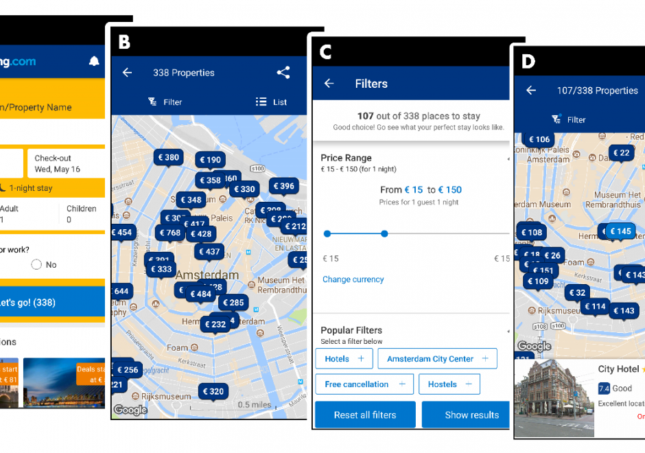
Geographic information increasingly is produced and consumed on mobile devices. The rise of mobile mapping is challenging traditional design conventions in research, industry, and education, and cartographers and GIScientists now need to accommodate this mobile context. This entry introduces emerging design considerations for mobile maps. First, the technical enablements and constraints that make mobile devices unique are described, including Global Positioning System (GPS) receivers and other sensors, reduced screensize and resolution, reduced processing power and memory capacity, less reliable data connectivity, reduced bandwidth, and physical mobility through variable environmental conditions. Scholarly influences on mobile mapping also are reviewed, including location-based services, adaptive cartography, volunteered geographic information, and locational privacy. Next, two strategies for creating mobile maps are introduced—mobile apps installed onto mobile operating systems versus responsive web maps that work on mobile and nonmobile devices—and core concepts of responsive web design are reviewed, including fluid grids, media queries, breakpoints, and frameworks. Finally, emerging design recommendations for mobile maps are summarized, with representation design adaptations needed to account for reduced screensizes and bandwidth and interaction design adaptations needed to account for multi-touch interaction and post-WIMP interfaces.

Pages